Mount Corruption

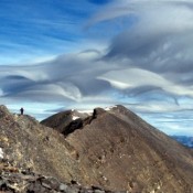
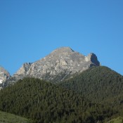
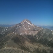
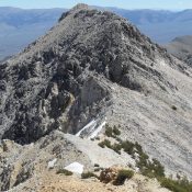
Climbing and access information for this peak is on Page 282 of the book. There are two routes listed in the book. Expanding on this information, you will find below the Northwest Gully/North Ridge Route set out in photos followed by photos of Pat McGrane’s Complete North Ridge Route. Derek Percoski climbed the peak via its South Ridge which was … Continue reading

Lost River Mountain

Climbing and access information for this peak is on Page 283 of the book. Updated June 2022 Access to Lost River Mountain was recently closed at the point where it first crosses private land, The access route, BLM road MK127, crosses BLM and private land as it provides access to Forest Service land at the point where Upper Cedar Creek flows out … Continue reading

Umpleby Peak

Climbing and access information for this peak is on Page 305 of the book. This entry provides updated route information. Contents included (1) Brief notes on The Knoll to Umpleby Traverse, (2) The north ridge route, (3) The Bell Mountain to Umpleby Traverse, (4) The Basinger Canyon route and (5) Livingston Douglas’ west gully route. Updated December 2019 Umpleby is … Continue reading

Favorite Bell Mountain

Climbing and access information for this peak is on Pages 305-306 of the book. The book describes six routes on this peak. The peak’s West Ridge/West Face is the route most often climbed. This update includes additional routes and more detail on the West Ridge/West Face route. Updated June 2020 Bell Mountain is one of Idaho’s iconic landmarks. My first … Continue reading

Peak 10744 (Gilmore East)

Gilmore East viewed from Gilmore Peak. John Platt Photo

This peak is not in the book. It is the east summit of officially-named Gilmore Peak. Based on my visual observation, I believed there was a 50/50 chance that it is actually the highest point on the Gilmore Peak massif. My observation was recently confirmed by LiDAR measurements. Gilmore Peak is discussed on Page 304 of the book. Updated December … Continue reading

Shorty Peak

Shorty Peak is capped by a classic fire lookout which is reached via a 2.5-mile hike. The summit is actually the lower summit of Lone Tree Peak (6,771 feet). The Forest Service rents the lookout to the public on a “first come, first serve basis.” USGS Shorty Peak