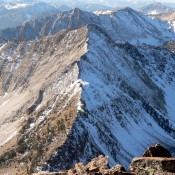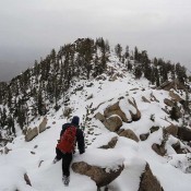
Robinson Bar Peak

This peak is not in the book. Robinson Bar Peak is located northeast of Lookout Mountain and the Salmon River. Climb this peak via the connecting Class 2-3 ridge from Lookout Mountain. See Dave Pahlas’ trip report for the details. USGS Robinson Bar   … Continue reading
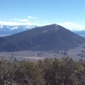
Smoky Mountain

This peak is not in the book. Livingston Douglas provided the additional route the information found below. Updated November 2018 Smoky Mountain a big, somewhat-isolated peak located at the south end of the Albion Range near the village of Almo. While there is private property on all but the east side of this big juniper-covered mountain, the private property is … Continue reading

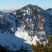
Peak 10408 (Ivory Peak)

This peak is not in the book. Ivory Peak is located east of Ebony Peak. I believe Dan Robbins was the first to publish the names of these two peaks. The names are appropriate as they reflect the colors of the two peaks. See Dan Robbins’ trip report for ascent details. Livingston Douglas provides details for the north ridge and … Continue reading

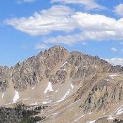
Peak 10514 (Ebony Peak)

This peak is not in the book. Ebony Peak is located northeast of Washington Peak and west of Ivory Peak. Ebony Peak is usually climbed via a traverse from Fourth of July Peak and Ivory Peak. Access Fourth of July peak via The Fourth of July Lake Trail [(A)(2)(a) on Page 229]. Livingston Douglas has provided great route information below that will … Continue reading

Peak 10857 (Mount Frank)

This peak is not in the book. Dave Pahlas traversed the connecting ridge from Patterson Peak. Derek Percoski traversed the connecting ridge from Lonesome Peak. Updated August 2019 Mount Frank is located northeast of Patterson Peak and is connected to that peak by a rugged ridge. Rick Baugher reports he found the unofficial named carved into a rock on the … Continue reading

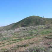
Grape Mountain

This peak is not in the book. This somewhat-isolated Boise Mountain summit is a great destination for hikers in the spring. Grape Mountain sits east of the Irish Creek boat ramp on Arrowrock Reservoir. It is the highest point on the West End of the land that separates the Middle and South Forks of the Boise River. A road (gated … Continue reading