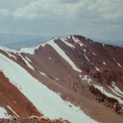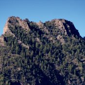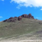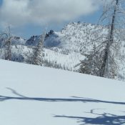
This peak is not in the book. Goat Creek Peak is located above a drainage named Goat Creek. More specifically, this Goat Creek flows west off a high ridge known as the Log Mountain/Deadwood Divide (see Page 117 of the book). Even more to the point, the peak is located on the section of the divide bordering the East Side … Continue reading
Book Updates
These peaks are not in the book. I have combined the 3 summits on Sixmile Ridge on this page. The coordinates and map below are centered on the summit of Sixmile Ridge which is the highest point on the ridge. Sixmile Ridge parallels the South Fork Salmon River between Warm Lake and the junction of the South Fork and the … Continue reading
Climbing and access information for this peak is on Pages 326-327 of the book. Dead Horse Summit is a large mountain located west of the main Beaverhead Mountains Crest. Three drainages (Indian Head Canyon, Cliff Creek, Mahogany Gulch) drop to the west from this peak’s broad summit. The book covers Rick Baugher’s ascent via Mahogany Gulch. More recently, Bob Bolton … Continue reading
Climbing and access information for this peak is on Page 263 of the book. This peak is identified as Cabin Mountain’s North Summit in the book. Livingston Douglas added the southwest ridge route set out below as well as additional photos. Updated November 2020 Peak 11163 is the north summit of Cabin Mountain. It is also known as North Cabin … Continue reading
This peak is not in the book. Peak 8820 is noted for its ragged, steep summit ridge. The peak is located southwest of Pass Creek Summit. Mill Creek is on its North Side and an unnamed drainage is found on its South Side. Both drainages empty into Pass Creek. The peak was probably first climbed by Rick Baugher in 2011. … Continue reading
This peak is not in the book. Livingston Douglas contributed a photo to this entry. Updated November 2022 Shares Snout is a distinctive rocky summit on the northern fringes of the Owyhee Mountains. It has a rocky summit which requires a short rock climb but is otherwise a walk-up. USGS Opalene Gulch Access Coyote Grade Road. This road is easily … Continue reading