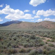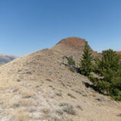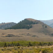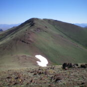
This peak is not in the book. Published November 2024 The Caribou Range has two Lone Pine Ridges. This is the lower of the two at only 6,590 feet. The higher Lone Pine Ridge is farther south and is at 7,336 feet. Ironically, the higher Lone Pine Ridge has only 79 feet of prominence and is overshadowed by Commissary Ridge … Continue reading
Search Results for: a cl
This peak is not in the book. This peak is on private land and is not open to the public. Published November 2024 Skelly Hill is located at the northern ramparts of the Caribou Range, on the east side of the Meadow Creek drainage. It is an impressive, rocky hill surrounded by private ranch land. You must obtain permission before … Continue reading
This peak is not in the book. Published November 2024 Peak 7070 is a handsome scrub hill that sits above Doublespring Ranch to its northwest. It is most easily climbed via its south ridge from a 2-track BLM road. This area is a mix of private and public land, so be careful. This climb is entirely on BLM land. USGS … Continue reading
This peak is not in the book. The name is derived from a nearby cabin. See Dave Pahlas’ trip report linked below. Published November 2024 Peak 8340 is one of several foothills on the north side of the Lost River Range. It sits on the east side of the confluence of the East Fork Pahsimeroi River and West Fork PahsimeroiRiver. … Continue reading
This peak is not in the book. The name is derived from a nearby cabin. See Dave Pahlas’ trip report linked below. Published November 2024 Peak 8288 is one of several foothills on the north side of the Lost River Range. It sits on the east side of the confluence of the East Fork Pahsimeroi River and West Fork Pahsimeroi … Continue reading
This peak is not in the book. Published November 2024 Burnt Creek WSA HP is an overlooked, ranked ridge hump that sits north of [the more impressive] East Burnt Peak (10,149 feet). It can be climbed either individually from East Fork Burnt Creek or in combination with nearby East Burnt Peak via an easy ridge traverse. USGS Burnt Creek Access … Continue reading