Peak 4973

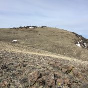
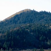
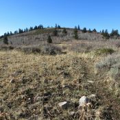
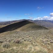
This peak is not in the book. Updated February 2020 Peak 4973 is the westernmost peak in the Danskin Mountains. The peak sits just east of Lucky Peak Reservoir. Kepros Mountain is located to the NE and Peak 5380 is to the ESE. USGS Arrowrock Dam I was told that a few people have boated across the reservoir and climbed … Continue reading
Tennison Ridge

This peak is not in the book. Published May 2017 Tennison Ridge is in the Weiser River Basin (southeast of Crane Creek Reservoir) in the western foothills of the West Mountains. The summit is a little more than 3.4 miles south of Riley Butte. Tennison Ridge lies on public land managed by the BLM. Google Maps gets you to the … Continue reading

Riley Butte

This peak is not in the book. Riley Butte is in the Weiser River Basin (east of Crane Creek Reservoir) in the western foothills of the West Mountains. The summit is on public land managed by the Idaho Department of Lands. Riley Butte is located about three miles north of Tennison Ridge. While not a difficult summit to surmount, it … Continue reading

Federal Butte

This peak is not in the book. Federal Butte sits southwest of Murphy, Idaho. The peak juts out from the higher peaks to the south, giving it a nice 360-degree view, which encompasses a huge swath of southwestern Idaho. This peak is Class 2 from almost any direction. USGS Murphy Access The peak can be approached from Murphy and ID-78 … Continue reading

Peak 6472

Peak 6472. Photo - Steve Mandella.

This peak is not in the book. Margo wrote the original post. Livingston Douglas added a new route and photos which are set out below. Click on the photos to see a larger image. Peak 6472 is located south of the city of Pocatello and approximately a mile (at most) from Slate Mountain. The peak lies in the Bannock Range. Like … Continue reading

Peak 7060 by Margo Mandella

Peak 7060, Bannock County. Photo - Steve Mandella

This peak is not in the book.  Peak 7060 is located south of the city of Pocatello, approximately 2.5 miles south of Rock Knoll in the Bannock Range. The peak lies in Bannock County although its western base touches the Power County Line. USGS Clifton Creek The Forest Service/Westside Ranger District Road takes you within 2 miles of the peak, … Continue reading