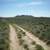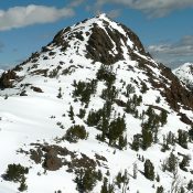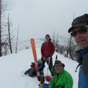
This peak is not in the book. Peak 6448 is located west of Warm Lake and southwest of Kline Mountain. John Platt, Art Troutner and John Fadgen made a Winter ascent of the peak in February 2016. They used an old logging road that starts where the Warm Lake Highway crosses Curtis Creek (see map below) and leads to the … Continue reading
Search Results for: a cl
This peak is not in the book. Kline Mountain sits just west of the northwest corner of Warm Lake and east of Cascade, Idaho. Recent fires have burned off the thick forests that once covered the peak. Depending upon where you start, you can reach the summit in 1.0-1.5 miles with less than 1,000 feet of elevation gain. The only … Continue reading
This peak is not in the book. Margo Mandella and Livingston Douglas provided the following information based on separate climbs. Updated December 2020 Table Legs Butte is located approximately three miles southeast of Atomic City, Idaho on public land managed by the Bureau of Land Management (BLM). This butte and several other buttes are visible from US-26. The butte’s summit … Continue reading
Climbing and access information for this peak is on Page 233 of the book. Meridian Peak is the focal point on a massive L-shaped ridge complex. The northern lobe runs north from Meridian Peak to Peak 10522. The eastern lobe that runs east to Toolbox Peak. Middle Canyon and Hunter Creek border the ridge on its western flanks. The East … Continue reading
This peak is not in the book. The highpoint of the North Fork Owyhee Wilderness doesn’t look like much on a map, but it’s in a very scenic and remote area of Idaho that just begs for more exploration. USGS Indian Meadows We did not take the most direct route. There are some roads that lead to Indian Meadows just … Continue reading
Climbing and access information for this peak is on Page 56 of the book. Updated November 2023 Mount Coeur d’Alene is located approximately nine miles southeast of the city of Coeur d’Alene, Idaho in the Coeur d’Alene National Forest. Mount Coeur d’Alene’s tree-covered summit is reached by both trail and road. Google Maps provides driving directions to the former fire … Continue reading