Squirrel Mountain

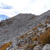
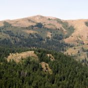
Squirrel Mountain from the summit of Peak 7906. Steve Mandella Photo.

This peak is not in the book. There are a lot of options to reach this summit set out below. Margo Mandella is the author of the original entry which she climbed while making a three peak loop. I added a route starting on Pine Creek Pass. Livingston Douglas added a new route and access point as part of a … Continue reading
Rock Knoll by Margo Mandella

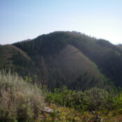
Rock Knoll east view, photo - Steve Mandella

This peak is not in the book. Rock Knoll sits south of Pocatello, approximately 5 miles southwest of Kinport Peak in the Bannock Range. This peak is most easily accessed from the east. USGS Pocatello South From the Bannock Highway in Pocatello, take Gibson Jack Road west to where it ends at a large parking area. Use Gibson Jack Trail/FST-014 … Continue reading

Henderson Peak

Henderson Peak as viewed from Mahogany Ridge West to its southwest. Livingston Douglas Photo

This peak is not in the book. Margo Mandella authored the first entry for this peak. Subsequently, Livingston Douglas added another version. Both are included below. Updated January 2023 Henderson Peak by Margo Mandella Henderson Peak is located approximately 4 miles southeast of Garns Mountain in the Big Hole Mountains. The summit provides great views of various Big Hole peaks, … Continue reading

Peak 8740 (Idler Peak)

This peak is not in the book. Idler Peak sits on the Lick Creek Range Crest above Idler Lake, between Lick Creek Summit and Nick Peak. This is a remote, rugged and trailless area. See John Platt’s trip report to read how he covered 17 miles and 4,010 feet of elevation gain to reach the summit. USGS Fitsum Summit … Continue reading

Peak 8724 (Buck Peak)

This peak is not in the book. Buck Peak is located northeast of Buckhorn Mountain in the southern Lick Creek Range. Like many peaks in this region, climbing the peak involves crossing difficult terrain with significant up and down travel. See John Platt’s trip report to read about his approximately 12-mile, 4,000-foot of elevation gain odyssey to this remote summit. USGS … Continue reading

Gabes Peak

Climbing and access information for this peak is on Page 106 of the book. Gabes Peak is a minor, tooth-shaped summit found west of Granite Peak and the Snowbank Mountain Road. It is a great perch for surveying the Sierra Nevada-like meadows on the west side of the ridge crest. The country between Gabes Peak and Snowbank Mountain Road is … Continue reading