Old Hyndman Peak

Climbing and access information for this peak is on Pages 250-251 of the book. Scroll down this page to view many photos and for new route information: (1) Steve Sheriff and Kevin Murray route on the North Ridge and (2) The Travis Michaelis Memorial Route. Old Hyndman Peak is #9 on my list of Favorite Climbs: the East Ridge/East Face Route (Class … Continue reading
Triple Peak

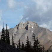
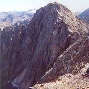
Climbing and access information for this peak (shown as Peak 11280+) is on Page 282 of the book. At the time of the second edition, I was almost positive that the peak was unclimbed. I listed it in the book to give people a shot at a first ascent but I planned on racking up the first ascent myself. Brian … Continue reading

Sacajawea

Climbing and access information for this peak is on Page 274 of the book. Also see Wes Collin’s article on The Lost River Traverse in the Climbing History Section. Contents: 1) Standard Route details 2) North Face Direct Route by Wes Collins and Bob Boyles 3) Grand Central Couloir Route by Joe Crane Sacajawea is the 13th-highest peak in Idaho. … Continue reading

Peak 11332 (Limestone Peak)

Climbing and access information for this peak is on Pages 285-286 of the book. Please note that this peak is erroneously named Triple Peak in the book. Access to Lower Cedar Creek and travel up the drainage has significantly changed since the book was published. Thanks to Livingston Douglas, we now have updated, detailed west side access information and a … Continue reading

Mount Corruption

Climbing and access information for this peak is on Page 282 of the book. There are two routes listed in the book. Expanding on this information, you will find below the Northwest Gully/North Ridge Route set out in photos followed by photos of Pat McGrane’s Complete North Ridge Route. Derek Percoski climbed the peak via its south ridge which was … Continue reading

Lost River Mountain

Climbing and access information for this peak is on Page 283 of the book. Updated June 2022 Access to Lost River Mountain was recently closed at the point where it first crosses private land, The access route, BLM road MK127, crosses BLM and private land as it provides access to Forest Service land at the point where Upper Cedar Creek flows out … Continue reading