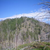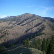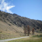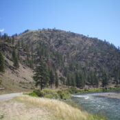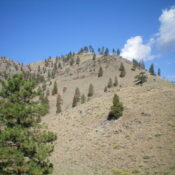
This peak is not in the book. Published November 2023 Peak 5030 is on a ridgeline that separates Ebenezer Creek from Poverty Flat in the Bitterroot Mountains. It towers over the Salmon River to its south. Peak 5030 is most easily climbed from the Salmon River Road. The crux is figuring out a way to surmount the cliff bands near … Continue reading
Search Results for: a cl
This peak is not in the book. Published November 2023 Peak 4788 is a rugged, triangular-shaped summit that towers over the confluence of Owl Creek and the Salmon River. It is most easily climbed from the Salmon River Road. This area is a mix of private and public land, so be careful. This climb is entirely on National Forest land. … Continue reading
This peak is not in the book. Published November 2023 Peak 7420 is the high point on the north-south ridge that includes Dutchler Mountain. Yes, Peak 7420 is actually the high point of Dutchler Mountain. The shortest approach to Peak 7420 is from Squaw Creek Road which may only be drivable for ATVs and MCs. USGS Shoup Access From US-93 … Continue reading
This peak is not in the book. Published November 2023 Dutchler Mountain is an impressive mountain that separates Squaw Creek from the East Fork Spring Creek in the Bitterroot Mountains. It is most easily climbed from its west side and FSR-042/Dutchler Mountain Road. Old mining roads(now just grassy ramps) lead up its west face all the way to the high … Continue reading
This peak is not in the book. Published November 2023 Peak 5653 is a ridge hump on the long southwest ridge of Ulysses Mountain (7,649 feet). It towers over the nearby Salmon River. Peak 5653 is most easily climbed via its southwest ridge from the Salmon River Road. USGS Ulysses Access From US-93 at North Fork, drive west on FSR-030/Salmon … Continue reading
This peak is not in the book. Published November 2023 Indianola Benchmark is located at the southeast end of a narrow ridge that separates Squaw Creek from the Salmon River in the Bitterroot Mountains. It is most easily climbed from the Salmon River Road via its west shoulder. The south side of Indianola Benchmark has some rugged cliffs down near … Continue reading