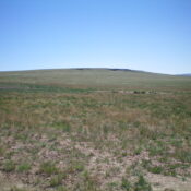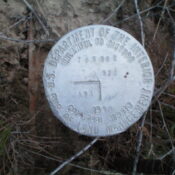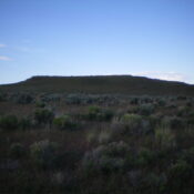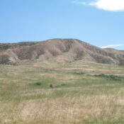
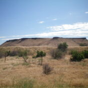
This butte is not in the book. Published November 2024 Crabb Butte (i.e., Bruneau Benchmark) is a handsome butte with a steep southwest face. It is located east of Bruneau and sits above the Bruneau Cemetery on BLM land. Crabb Butte is most easily climbed from the Bruneau Cemetery. USGS Bruneau Access From ID-78 in the center of the small … Continue reading
Search Results for: a cl
This butte is not in the book. Published November 2024 Formerly a ranked summit, Flatiron Butte is a handsome butte with steep sides. It is located on the south side of the Snake River, just east of the Bruneau Duck Ponds and just north of ID-78. Much of the butte is on unposted, private land. However, it can be approached … Continue reading
This butte is not in the book. Published November 2024 Cedar Butte is a handsome butte that is almost a ranked summit. It sits above John Boyd Flat on the Snake River Plain. It can be climbed entirely on BLM land from the northwest. USGS Cedar Creek Reservoir Access From US-93 at Rogerson, drive to the center of Rogerson and … Continue reading
This butte is not in the book. Published November 2024 Thanks to LiDAR, Black Butte/Blue Benchmark is a newly-ranked summit. It is located in a desolate area of the Snake River Plain but it is easily reached via a service road to the antenna-clad summit. Black Butte is on the Bruneau Desert and is just east of the Saylor Creek … Continue reading
This butte is not in the book. Published November 2024 Winter Camp Butte is a rather insignificant hump (though it is a ranked summit) on the Snake River Plain pretty much in the middle of nowhere. It can be reached by a service road that goes all the way to the antenna-clad summit. USGS Pot Hole Butte Access From ID-78 … Continue reading
This butte is not in the book and privately owned. Published for informational purposes only—November 2024 Flatiron is located due east of Rogerson, Idaho on the south side of County Road 1600N. Yes, it does look like a flatiron. Flatiron is on private land that is aggressively posted and fenced. Regrettably, it is closed to the public. USGS Rogerson … Continue reading