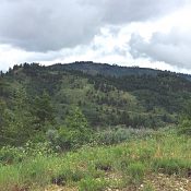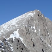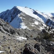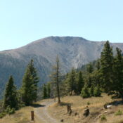
Peak 10216 (Liberty Mountain)

This peak is not in the book. The elevation has been updated to 10,216 feet based on new LiDAR measurements. Larry Prescott climbed the peak from the east. Larry’s East Face Route is summarized here and a link to his site is provided below. Rick Baugher’s Southeast Ridge Route is also linked below. Livingston Douglas climbed this peak as part … Continue reading
Peak 8253 (Petes Peak)

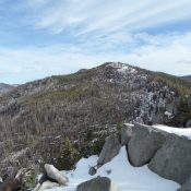
This peak is not in the book. Petes Peak is located in the Lick Creek Range, east of McCall and Boulder Lake. Despite this close proximity to civilization, Petes Peak is not easy to reach. Use the link below to read John Platt’s trip report detailing his 8-hour odyssey that covered 15.6 miles with 5,155 feet of elevation gain. Class … Continue reading

Salmon Butte

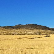
Livingston Douglas provided photos and text updates to the narrative below. Updated November 2021 Salmon Butte is located west of Rogerson, Idaho and US-93. This volcanic remnant on the South Edge of the Snake River Plain offers an easy, quick ascent and decent views, especially of nearby Salmon Falls Creek Reservoir. USGS Salmon Butte Access From the sharp right/west turn … Continue reading

Warm Springs Point

This peak is not in the book. Warm Springs Point is located southwest of Idaho City and northeast of the confluence on Mores Creek and Grimes Creek, the two major drainages in the southwestern Boise Mountains. The peak is the most prominent summit in this area. To reach the peak, follow Centerville Road from Idaho City for 3.8 miles and … Continue reading

Peak 10729 (Mount Inspiration)

Climbing and access information for this peak is on Page 305 of the book. LiDAR measurements have increased the elevation of this peak by 14 feet. The unofficial name was suggested by Rick Baugher who made the first recorded ascent. As detailed in the book, Rick climbed the peak from the west. Use the link below to read about his … Continue reading

Peak 10698 (Prescott Peak/Mount Perspiration)

This peak is not in the book. Livingston Douglas provided a detailed route description of Larry Prescott’s last climb. Additionally, you will John Platt’s GPS track and photos below. LiDAR measurements have increased the elevation of this peak by five feet.  So why two unofficial names? The original Mount Perspiration name was given to the peak by Rick Baugher, a … Continue reading