Peak 7180 by Livingston Douglas

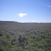
This peak is not in the book. Published January 2023 Peak 7180 is the high point on a magnificent ridgeline that follows the south side of the East Fork of Fish Creek. While the summit is on BLM land, this area is a patchwork of private and public land. Please obtain permission from the landowner(s) before attempting this climb. USGS … Continue reading
Peak 7151 by Livingston Douglas

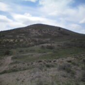
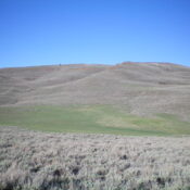
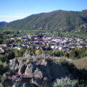
This peak is not in the book. Published January 2023 Peak 7151 is located north of Fish Creek Reservoir and sits at the head of Scribbin Draw. This is the second leg of a 2-peak adventure that includes Freedom Benchmark (7,278 feet) and Peak 7151. Peak 7151 is most easily climbed from a 4WD road at the base of its … Continue reading

Penny Mountain by Livingston Douglas

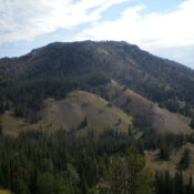
This peak is not in the book. Published November 2022 Penny Mountain is a small hill that sits just east of the Ketchum Cemetery along ID-75 at the north end of Ketchum. It is on private land (probably City of Ketchum land). There is a footpath coming up both the north ridge and the southeast ridge from Ketchum streets/residences. It … Continue reading

Bud Lewis Hill by Livingston Douglas

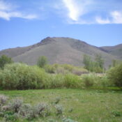
This peak is not in the book. Published November 2022 Bud Lewis Hill is located on the east side of the Rogerson-Jarbidge Highway. It is most easily climbed via its west face from the highway. This area is a mix of private and public land, so be careful. This hike is entirely on BLM land. USGS Cedar Creek Reservoir Access … Continue reading

Peak 5961 by Livingston Douglas

This peak is not in the book. Published November 2022 Peak 5961 is a double-humped summit that is located southwest of North Junipers HP. It can be most easily reached via ATV/Jeep roads (many of which are NOT shown on the USGS map) coming in from Grassy Ridge Road to the north.This is the second leg of a 2-peak journey … Continue reading

Peak 9980 by Livingston Douglas

This peak is not in the book. Published November 2022 Peak 9980 is located east of the main north-south Smoky Mountains Crest and south of Smoky Lake. It is most easily reached via its east ridge from the Norton Lakes trailhead. USGS Baker Peak Access Same as for Peak 9335. This is the final leg of a 3-peak adventure that … Continue reading