This peak is not in the book. Erik Pohlmann has provided five route variations for reaching this peak which are set out below. For additional access information see the following website page: Danskin Mountains OHV Trails. Published May 2018 Livingston Douglas climbed the peak via the most direct route, the peak’s south ridge. Find his route at this link: South … Continue reading
Search Results for: a cl
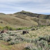
This peak is not in the book. Additional Danskin Mountains access information can be found in the book [(D)(1) on Pages 154-5 and (G)(1) on Page 156]. Also see the following website page: Danskin Mountains OHV Trails. Published May 2018 This peak is located due south of Danskin Peak. Erik Pohlmann climbed the peak as part of 32.2-mile Danskin mountain bike … Continue reading
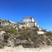
This point is not in the book. Published June 2018 The Silver Creek Fire Lookout is located north of Garden Valley, Idaho on a long, steep-sided ridge that divides the Middle Fork Payette River from Silver Creek. This area is characterized by deep canyons, thick forests and the occasional but spectacular granite slabs and spires. The fire lookout is located … Continue reading
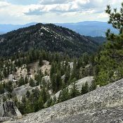
This peak is not in the book. Published June 2018 Peak 6812 is located north of Garden Valley, Idaho on a long, steep-sided ridge that divides the Middle Fork Payette River from Silver Creek. This area is characterized by deep canyons, thick forests and the occasional but spectacular granite slabs and spires. The peak is located 1.2 air miles north … Continue reading
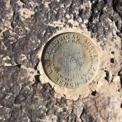
This peak is not in the book. Livingston Douglas provided new route information for ascending the peak’s northeast face. Updated November 2019 Windy Benchmark is a broad plateau-like peak located south of Hill City. It took us a while to find the benchmark on the large, flat summit. We added three cairns in case anyone else wants to summit this … Continue reading
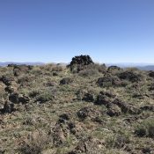
This peak is not in the book. Davis Mountain is the highest point in the central section of the Bennett Mountain Hills. The summit is accessed via the Davis Mountain Road. This rugged 4WD road passes just west of the summit. A spur road can be followed east to the electronic installation near the high point. USGS Davis Mountain Access … Continue reading