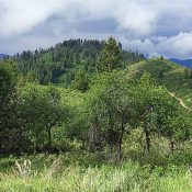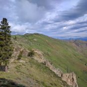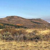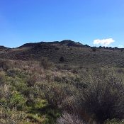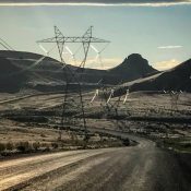
This peak is not in the book. Elephant Butte is located just southwest of Sommer Camp Road, near its junction with US-95. There are not many good parking options, but we found a small turnout about 1/2 mile southwest of the butte and parked there. There was a very faint jeep trail that led to the south side of the … Continue reading
Search Results for: a cl
This peak is not in the book. Peak 4700 is a minor Boise Mountains summit located next to Mores Creek and ID-21. The peak is part of land owned by the State of Idaho. Due to its low elevation, the peak can be accessed in early Spring. USGS Warm Springs Point Access Access the peak by turning off ID-21 onto … Continue reading
This peak is not found in the book. Casner Mountain is located south of Warm Springs Point and southwest of Idaho City. It is northeast of the confluence of Mores Creek and Grimes Creek, the two major drainages in the southwestern Boise Mountains. You have 2 options to reach the peak. USGS Warm Springs Point If you are also planning … Continue reading
This peak is not in the book. Cathedral Butte is located northeast of Danskin Peak and northwest of Cathedral Rocks. Erik Pohlmann described this peak stating: “Sprinkled granite and a couple early-season ponds give this mellow ridge traverse a wonderful, albeit false, alpine feel. Lends STUNNING views of the most densely-forested Danskin terrain, Danskin Peak rising 3,000 feet out of … Continue reading
This peak is not in the book. Updated August 2021 Jack Benchmark is located at the northern end of the main Owyhee Mountains Crest west-northwest of Slacks Mountain. It is the 12th-highest Owyhee Mountains summit. It has nearly 900 feet of prominence and a mile-long summit ridge. The high point is at the south end of the summit ridge. Jack … Continue reading
This peak is not in the book. Whiskey Mountain has a long north/south trending summit ridge. The peak’s closest neighbor is Rooster Comb Peak, which is located rough 1.8 miles SSW of Whiskey Mountain. These two mountains and Jack Benchmark sit in an area of mixed BLM, State of Idaho and private lands. USGS Rooster Comb Peak Access Whiskey Mountain Road. … Continue reading