Peak 4827

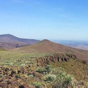
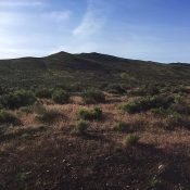
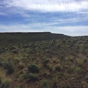
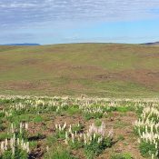
This peak is not in the book. One of the most inconspicuous Owyhee Mountains, this rounded summit is located just west of US-95. There are nice views from the summit and it would make a nice destination for mountain bikers.  USGS Piute Butte To reach the peak, drive 16.1 miles south of the ID-55/US-95 junction (just east of Marsing, Idaho) … Continue reading
Queen Mountain

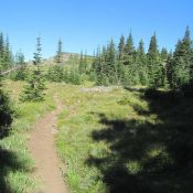
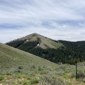
Nearing the summit of Queen Mountain. Victor Zhou Photo

Climbing and access information for this peak is on Page 50 of the book. Queen Mountain has 3,252 feet of prominence, making it one of the most popular destinations Idaho’s section of the Purcell Mountains. The peak is reached from Queens Lake which sits at the eastern base of the peak. The trailhead for the lake can be reached via … Continue reading

Peak 7492 (Sublett Range HP)

This peak is identified on Page 353 of the book as the Sublett Range High Point, but I had no information on the peak at the time the book was published and no route information was included. Subsequently, Rick Baugher climbed the peak. His informative trip report is linked below. Livingston Douglas contributed a new route and photos to this … Continue reading

Windy Point

This peak is not in the book. Also see the Owyhee Mountains Peaks List for all of the peaks in this range. Windy Point is a distinctive peak. This Owyhee Mountains summit is easily visible from ID-78. Although the peak has only 259 feet of prominence, it sits at the north end of a long, complicated ridgeline that is topped by … Continue reading

Peak 5016

This peak is not in the book. See the Owyhee Mountains Peaks List for all of the peaks in this range. Updated November 2020 Peak 5016 is perfectly situated to take in the entire Reynolds Creek drainage and the many peaks that surround that high mountain valley. The peak is an easy hike of 0.7 miles and 400 feet of … Continue reading

Peak 5180

This peak is not in the book. Also see the Owyhee Mountains Peaks List for all of the peaks in this range. Updated November 2020 Peak 5180 is the high point on a complex north-south ridge that forms the eastern side of the upper Reynolds Creek drainage. This unnamed peak sits one mile south of Windy Point, the only named feature … Continue reading