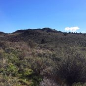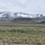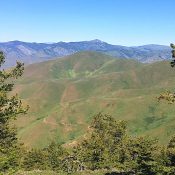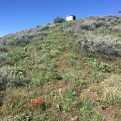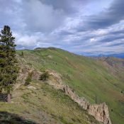
This peak is not in the book. Cathedral Butte is located northeast of Danskin Peak and northwest of Cathedral Rocks. Erik Pohlmann described this peak stating: “Sprinkled granite and a couple early-season ponds give this mellow ridge traverse a wonderful, albeit false, alpine feel. Lends STUNNING views of the most densely-forested Danskin terrain, Danskin Peak rising 3,000 feet out of … Continue reading
Search Results for: a cl
This peak is not in the book. Updated August 2021 Jack Benchmark is located at the northern end of the main Owyhee Mountains Crest west-northwest of Slacks Mountain. It is the 12th-highest Owyhee Mountains summit. It has nearly 900 feet of prominence and a mile-long summit ridge. The high point is at the south end of the summit ridge. Jack … Continue reading
This peak is not in the book. Whiskey Mountain has a long north/south trending summit ridge. The peak’s closest neighbor is Rooster Comb Peak, which is located rough 1.8 miles SSW of Whiskey Mountain. These two mountains and Jack Benchmark sit in an area of mixed BLM, State of Idaho and private lands. USGS Rooster Comb Peak Access Whiskey Mountain Road. … Continue reading
This peak is not in the book. This page was written with contributions by Margo Mandella and Livingston Douglas. Updated December 2019 Scott Butte is an attractive, flat-topped geologic feature located at the base of the Beaverhead Mountains. The peak is situated close to ID-28 at the south end of the Birch Creek Valley. Scott Butte is most easily climbed … Continue reading
This peak is not in the book. McChord Butte sits on a subsidiary ridge in the Snake River Canyon west of Monroe Butte. According to Jon Fredland, who supplied the route information, the peak’s geographical location in the middle of the canyon makes it one of the windiest spots in Idaho. USGS Monroe Butte Access and Route Drive US-95 10.0 … Continue reading
This peak is not in the book. Monroe Butte is located south of Iron Mountain on a high ridge that parallels the Snake River and the Idaho/Oregon border. This peak can be reached after a short hike. The view from the summit is massive. USGS Monroe Butte Access Drive US-95 10.0 miles north of Weiser and turn onto FS-600/Mann Creek … Continue reading