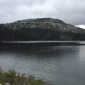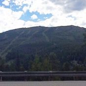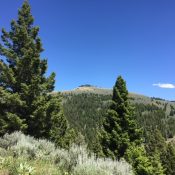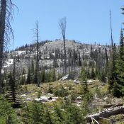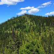
This peak is not in the book. Peak 5684 is located just northeast of Lolo Pass on the Idaho/Montana border in the Bitterroot Mountains. Like many peaks in this area, it is covered by thick forest on one side and an old clear-cut on the opposite side. To climb the peak, look for a gated road leaving the south side of … Continue reading
Book Updates
This peak is not in the book. Peak 7657 sits on the Idaho/Montana border south of Wahoo Pass and west of the Twin Lakes. The peak is located at the upper end of Montana’s Lost Trail Pass in the Bitterroot Mountains. I got snowed out of the area after climbing Peak 7544 in late June 2016. Before leaving, I spotted … Continue reading
This peak is not in the book. Peak 7544 sits northwest of Twin Lakes near the Idaho County/Ravalli County border in the Bitterroot National Forest. Wahoo Pass is located on the peak’s South Ridge and Lost Horse Pass is on its East Ridge. The peak is accessed via Lost Horse Road from US-93 south of Hamilton, Montana. This good gravel … Continue reading
This peak is not in the book. Updated November 2023 Peak 8180, also known as Lewis and Clark Ridge, is the southernmost Bitterroot Mountain summit along the range’s crest. It is located due west of US-93 at Lost Trail Pass and is the highest point of the Lost Trail Pass Ski Resort. The peak also lies on the border of … Continue reading
This peak is not in the book. I ignored Sheephorn Mountain when I wrote the book because it has a road to the summit. Big mistake! This is an impressive peak with great views. The peak is located on the Eastern Edge of the Salmon River Mountains between Challis and Salmon. To reach the peak, take US-93 for 23 miles … Continue reading
This peak is not in the book. Peak 8256 is located on the border of Idaho County and Valley County in the Payette National Forest, just west of Goose Creek/Hazard Lake Road [(B)(1) on Page 134]. The peak lies on a long ridgeline anchored by Slab Butte to the south and Ladybug Peak to the north. Use the link to … Continue reading