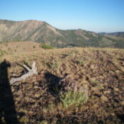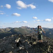
This peak is not in the book. Peak 6927 sits directly on the Bitterroot Mountains Crest and the Idaho/Montana border. USGS Schley Mountain Dan Saxton provided the following information on the peak: “Peak 6927 is not a significant peak and I don’t have any distinctive photos of it from a distance. It is just off the unmaintained State Line Trail, … Continue reading
Search Results for: a cl
This peak is not in the book. Peak 3793 has the distinction of being the steepest peak in Ada County. This peak is located just west of the Bogus Basin Road. USGS Boise North Access Park on the left side of Bogus Basin Road, 4.2 miles from Hill Road at an elevation of roughly 3,440 feet. There is a large … Continue reading
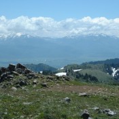
Climbing and access information for this peak is on Page 323 of the book. Published November 2023 Goat Mountain is a side ridge that extends southwest from the Continental Divide. It is due southeast of Lemhi, Idaho. Goat Mountain can be climbed either via its south ridge from a few miles off ID-28 or from the Continental Divide via a … Continue reading
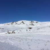
Climbing and access information for this peak is on Page 338 of the book. Garns Mountain is the 2nd-highest peak in the Big Hole Mountains. Piney Peak is 4 feet higher according to the latest measurements. See the Garns Mountain, Piney Peak and Red Butte Traverse page for updated details on how to reach these 3 summits. Also, use the … Continue reading
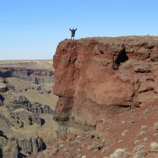
This peak is not in the book. This peak, unofficially named Montini Volcano, is located on the South Rim of the Snake River Canyon in Owyhee County. It is the 50th-steepest peak in Idaho and the steepest peak in Owyhee County. USGS Sinker Butte Dan Robbins researched the history and approach to this out-of-the-way summit. Dan states: “Peak 2887 had … Continue reading
This peak is not in the book. There are two routes set out below. Updated November 2019 Peak 5444 is located at the east end of the Danskin Mountains. The peak’s high point is located on the west end on a long east-to-west ridge line. The summit is north of the Tollgate Historical Marker on US-20. The peak can be … Continue reading