Hidden Peak

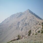
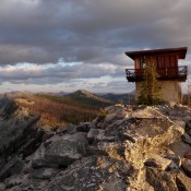
This peak is not in the book. Hidden Peak is a seldom-visited summit in the middle of the Selway-Bitterroot Wilderness. Although trails lead to its summit, it is a long hike. USGS Blodgett Mountain The Forest Service states: Hidden Peak Lookout tower is located in the Selway-Bitterroot Wilderness at an elevation of 7,826 feet. The present 10-foot concrete base topped … Continue reading
Peak 8041 (65ish Peak)

This peak is not in the book. Updated September 2021 Peak 8041 is one of two peaks sitting east of Lick Creek Summit. Like many Lick Creek Range summits it is capped with a granite summit block. It can be ascended with less than 1,200 feet of elevation gain. The second peak is Peak 7889 (Flying Fish Peak). USGS Box … Continue reading

Peak 7889 (Flying Fish Peak)

This peak is not in the book. Updated September 2021 Flying Fish Peak is located north of Sawtooth Peak and west of Beaverdam Peak near the point where the Lick Creek/Yellow Pine Road crosses Lick Creek Summit and turns west to descend to the South Fork Salmon River. It is a rugged cluster of granite outcrops, nearly vertical meadows, and … Continue reading

Peak 9997 (Penmyriad Peak)

This peak is not in the book. Judi Steciak and Carl Hamke submitted the information for the first two routes found below. Steve Grantham likely made the first ascent in 2014. His route is also found below. Livingston Douglas added additional photos and a more in-depth description of the southeast ridge, which requires a significant amount of Class 3 climbing. … Continue reading

Lightning Creek Rocks

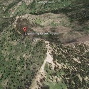
This peak is not in the book. Lightning Creek Rocks is a high point and is part of the Lightning Ridge complex. It has 209 feet of prominence but has no impressive summit towers. I wonder if this point was not misnamed because there is a more impressive spire located to the northeast. This peak sits north of Scott Mountain. … Continue reading

Peace Rock

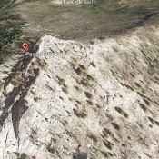
This peak is not in the book. Peace Rock sits west of Deadwood Reservoir. I know little about this peak other than what I can see in the Google Earth image below and learn from the maps. USGS Deadwood Reservoir   … Continue reading