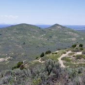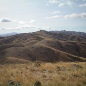
This peak is not in the book. Livingston climbed this peak via a long ridge walk. For a shorter climb, see Rick Baugher’s trip report which is outlined below. Updated November 2020 North Hansel Mountains HP is located south-southeast of Holbrook, Idaho on the west side of Pocatello Valley and several miles south of ID-38. It can be climbed via … Continue reading
Search Results for: a cl
Star Hope Benchmark is a hump that is located in the interior of Copper Basin in the basin’s northwest corner. Star Hope Creek is on its East Side and the Copper Basin Loop Road runs along its West Side. It still has a USGS benchmark on its summit. USGS Big Black Dome Northwest Face, Class 2 Date of Climb: June … Continue reading
This peak is not in the book. Published January 2020 Big Hole Pass Benchmark is located south of Big Hole Pass (7,055 feet) on the Continental Divide. The easiest ascent route is via the CDT/FSR-078 from Big Hole Pass to just north of the grassy summit hump. Regrettably, the USGS benchmark is no longer there. The nearest ranked summit is … Continue reading
This peak is not in the book. Published January 2020. St. Anthony Sand Dunes is a unique geological feature in southeast Idaho with five ranked peaks. Peak 5961 is located southwest of the North Junipers Hills, which includes the North Junipers HP. As described by the Bureau of Land Management (BLM): The St. Anthony Sand Dunes consists of 10,600 acres … Continue reading
Published (appropriately) in December 2019 Christmas Mountain is a desert hump located just west of Range Road on the Snake River Plain. It has a decent dirt road leading up to its antenna-clad summit. The actual high point is fenced in and is off-limits to the public. USGS Christmas Mountain East Face, Class 1 Access Use Google Maps to reach … Continue reading
This peak is not in the book. Published December 2019 Peak 9660 overlooks Smithie Creek and the upper reaches of Sawmill Creek. Of the 9,000-foot peaks in this area, it has the most prominence and also offers the best rock scrambling opportunities. It’s not just another forested hump. The easiest ascent route is via the Smithie Creek Trail and the … Continue reading