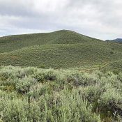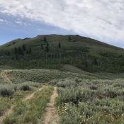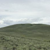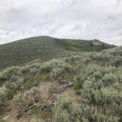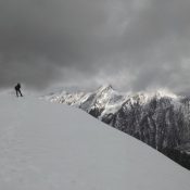
This peak is not in the book. Published July 2019 This peak is located due west of Center Mountain and the main Beaverhead Mountains Crest. It is an impressive summit by any measure and towers over an unnamed lake that forms the headwaters of Bohannon Creek. USGS Bohannon Spring Access Geertson Creek [(B)(2)(a) on Page 328]. Please note that the … Continue reading
Search Results for: a cl
This peak is not in the book. Published July 2019 This attractive, bulky peak is located southwest of Iron Mountain and the main Soldier Mountains Crest. Deer Mountain forms the southern end of a ridgeline that descends in a southerly direction from Blue Ridge. This ridge is flanked by North Fork Lime Creek in the west and Middle Fork Lime … Continue reading
This peak is not in the book. Livingston Douglas climbed this peak from Peak 6850. His Southwest Shoulder Route is set out below. Updated November 2022 Peak 6218 is on a long north/south trending ridgeline that separates Maxfield Creek from Thompson Creek. USGS Deer Mountain Access FS-069 climbs up Hawks Gulch and then drops into Maxfield Creek. The road fords … Continue reading
This peak is not in the book. Livingston Douglas added two additional routes to this entry. Updated November 2022 Peak 6394 is located in the center of the southern section of the Soldier Mountains on a north/south trending ridge that separates Thompson Creek from Maxfield Creek. USGS Deer Mountain Access FS-069 climbs up Hawks Gulch and then drops into Maxfield … Continue reading
This peak is not in the book. Livingston Douglas added a new line of descent as he continued on from the summit to climb Peak 6218. Updated November 2022 Peak 6412 is located in the center of the southern section of the Soldier Mountains on a north/south trending ridge line that rises between Hunter Creek in the west and Maxfield … Continue reading
This peak is not in the book. Livingston Douglas added the East Face Route found below. Updated November 2022 Peak 6885 is located a little more than a mile west of the point where Chimney Creek Road reaches the Sawtooth National Forest boundary in the southern Soldier Mountains. Chimney Benchmark is the closest named point. Peak 6885 is roughly 2.5 … Continue reading