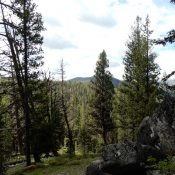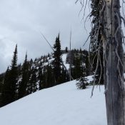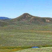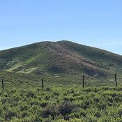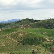
This peak is not in the book. Livingston Douglas added the Northwest Ridge Route to this entry. Updated November 2022 Peak 6860 is located northwest of Sheep Point. This peak has a rocky summit outcrop that requires a short scramble. While the peak is a quick hike from the Featherville Highway (FS-484) which follows its northern slopes, the easiest route … Continue reading
Search Results for: a cl
This peak is not in the book. Published June 2019 Sheep Point is located SSW of Smoky Dome in the complicated tangle of peaks that rise up between the Camas Prairie and the main Soldier Mountains Crest. This peak is perhaps the most distinctive peak in this group as it is somewhat isolated from the other peaks and is easily … Continue reading
These two peaks are not in the book. Published June 2019 These two summits are located southeast of Burgdorf Hot Springs and Warren Wagon Road/FH-21. Ruby Mountain is the highest point on a forested ridge flanked by Ruby Creek to the west and the Secesh River to the east. Peak 6980 is the northernmost ranked point on the ridge. USGS … Continue reading
This peak is not in the book. Published June 2019 Peak 8302 is located due west of Box Lake, north of McCall. USGS Box Lake Access Access from McCall is via Lick Creek Road [(B)(3) on Page 136]. Google Maps will give you accurate directions to the trailhead which is 16.0 miles from McCall. When the road is dry and … Continue reading
This peak is not in the book. Livingston Douglas added a photo. Updated November 2022 This is the southwestern-most Soldier Mountains summit and is a long way from the main Soldier Mountains Crest. Theoretically, this peak can be climbed from any direction. However, the range fence along the road is built in a fashion that makes it difficult to cross … Continue reading
This peak is not in the book. Published June 2019 Peak 6270 is located east of the Featherville Highway in the southwestern-most reaches of the Soldier Mountains. It anchors the west end of a long east/west trending ridge that rises up along the Western Camas Prairie. USGS High Prairie Access From the I-84/US-20 Exit, drive 31.9 miles on ID-20 to … Continue reading