Peak 8724 (Buck Peak)

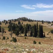
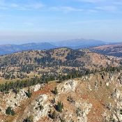
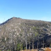
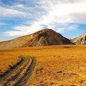
This peak is not in the book. Buck Peak is located northeast of Buckhorn Mountain in the southern Lick Creek Range. Like many peaks in this region, climbing the peak involves crossing difficult terrain with significant up and down travel. See John Platt’s trip report to read about his approximately 12-mile, 4,000-foot of elevation gain odyssey to this remote summit. USGS … Continue reading

Gabes Peak

Climbing and access information for this peak is on Page 106 of the book. Gabes Peak is a minor, tooth-shaped summit found west of Granite Peak and the Snowbank Mountain Road. It is a great perch for surveying the Sierra Nevada-like meadows on the west side of the ridge crest. The country between Gabes Peak and Snowbank Mountain Road is … Continue reading

Wilson Peak 7865

Climbing and access information for this peak is on Page 106 of the book. Published September 2016 Wilson Peak sits northeast of Snowbank Mountain and the main West Mountains Crest. The peak is best accessed from Snowbank Mountain Road. Although the maps show a good trail system leading to the peaks South Slopes, the trail system leaves a lot to … Continue reading

Peak 8420 (Mac Han Peak)

This peak is not in the book. Mac Han Peak is located east of Bruin Mountain. The peak is north of Black Tip Mountain to which it is connected by a long ridge. The shortest access is from Fisher Creek Saddle. Use the link below to read John Platt’s trip report. USGS Black Tip … Continue reading

Horse Heaven

This peak is not in the book. Horse Heaven has a broad summit traversed by a trail and a cabin on its summit. Class 1 via the trail. Use the link below to read Tom Cox’s trip report which gives all the information that you need to reach the summit. USGS He Devil   … Continue reading