Mount Hoopes

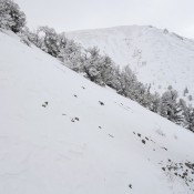
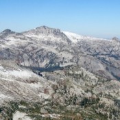
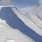
Climbing and access information for this peak is on Page 311 of the book. Livingston Douglas provided the new route updates set out below. Updated December 2019  Mount Hoopes is located just south of Tyler Peak. Although it is one of the most impressive of the southern Lemhi Range peaks, Mount Hoopes is seldom climbed. In December 2015, Larry Prescott … Continue reading
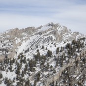
South Putnam Mountain by Ken Jones

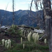
Climbing and access information for this peak is on Page 360 of the book. South Putnam is located north of Mount Bonneville.  USGS South Putnam Mountain Ken Jones provided the following update Ascent Trip Report I hoped to drive to 7,080 feet, but the road is closed at about the “24” in Section 24 on the map. It is washed … Continue reading

Stripe Mountain by Ken Jones

Climbing and access information for this peak is on Pages 73-74 of the book. Stripe Mountain is the highest point in the Clearwater Mountains and is a P2K peak. There is no short way to approach this remote summit. USGS Stripe Mountain Access The trailhead is at Salmon Base Camp, a former campground that has burned and is no longer … Continue reading

Peak 10401 (Daisy Black Peak)

This peak is not in the book. Daisy Black Peak is a subsidiary summit of Tyler Peak. It sits due west of Tyler Peak. The connecting ridge is an impressive route-finding problem and effectively isolates the peak from Tyler’s summit. Thus, although this peak has only 221 feet of prominence, it clearly should be considered a separate peak. See Larry … Continue reading

Peak 10358 (Great Western Peak)

This peak is not in the book. Great Western Peak is located on the main Lemhi Range Crest between Mount Hoopes and Saddle Mountain. The peak has been climbed by Rick Baugher and Larry Prescott. Two Larry Prescott trip reports are linked below. The first discusses an unsuccessful attempt and the second describes his successful ascent. Both trip reports are … Continue reading