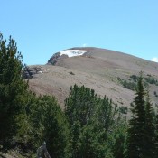
Phi Kappa Mountain

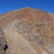
Climbing and access information for this peak is on Page 244 of the book. Revised January 2019. Phi Kappa Mountain has 296 feet of prominence, just 4 feet shy of being a ranked summit. Phi Kappa Mountain is located above the southeast fork of Summit Creek, near Trail Creek Summit. This mountain is often climbed with an ascent of Summit Creek … Continue reading
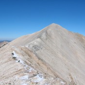
Peak 10446

This peak is not in the book. Brett Sergenian has provided additional beta which is set out below.  Peak 10446 is located 2.1 miles west of Ryan Peak and east of Peak 10450. I climbed Peak 10446 on June 24, 1979. USGS Ryan Peak Access North Fork of the Wood River Trailhead [(A)(9)(a) on Pages 241-242] Point 10368/East Ridge, Class … Continue reading

Scorpion Mountain

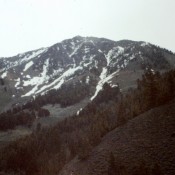
Climbing and access information for this peak is on Page 256 of the book. While not the highest peak in the mid-section of the Pioneer Mountains, Scorpion Mountain is one of the few peaks in this area with an official name. It is also a nice scramble. USGS Star Hope Mine … Continue reading

Grays Peak

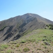
Climbing and access information for this peak is on Page 252 of the book. Livingston Douglas added additional photos. Updated November 2022 Grays Peak is accessible earlier than most Pioneer Mountain peaks. It is often climbed from the Federal Gulch Campground via its West Ridge as described in the book. USGS Grays Peak Photos of the West Ridge Route Livingston … Continue reading

Peak 10566

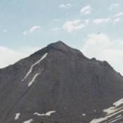
Climbing and access information for this peak is on Pages 239-240 of the book. Peak 10566 and Peak 10598 are located in the center of the Trail Creek drainage. USGS Rock Roll Canyon Access Park Creek Road and the Trail Creek Loop Trail [(B)(1)(a) on Page 242] … Continue reading