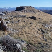
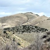
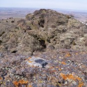
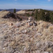
The Aspen Range forms the westernmost section of the Peale Mountains. This subrange extends south from the Blackfoot River for 23 miles, ending at the range’s highest point, Harrington Peak. Sulphur Peak (8,302 feet) is the only other named peak in the range. The range is administered by the BLM in the north end (which also includes many private land … Continue reading
Search Results for: a cl

This peak is not in the book. Fox Hills is linked to the Wooley Range to the northeast. The upper Blackfoot River cuts its southwest side. There are 4 ranked peaks in the Fox Hills of Caribou County. The Fox Hills and its approaches are on private or leased land. Thus, you will need to secure permission to climb this … Continue reading
This peak is not in the book. Blacktail Mountain is located on the west side of Lake Pend Oreille, roughly 5.0 miles east of Cocallala, Idaho. The peak is one of 100 Idaho summits with more than two thousand feet of prominence (2,770 feet of prominence) which ensures it sees a few ascents by peakbaggers each year. Butler Mountain can … Continue reading

This peak is not in the book. Rick Baugher’s trip report is set out at the bottom of the page. Updated November 2021 This peak is the highest point in the Malad Range which is a subrange of the Bannock Range. No summit register was found. The entire mountain and surrounding area is heavily used by wildlife and livestock. USGS … Continue reading

The East Hills rise out of the Snake River Plain southeast of Declo, ID, in Cassia County. These are foothills to the neighboring Cotterell Mountains and Albion Mountains. This notion is confirmed by looking at the rocks. The East Hills contain Cotterell basalts as well as ancient Albion metamorphics. The high point of the East Hills the Declo Benchmark or … Continue reading

This peak is not in the book. Windy Ridge is the high point of the Chesterfield Range. Rick Baugher is the only person I know who has visited this summit. Rick’s notes are set out below. USGS Grizzly Creek “On 11/3/11, I drove to the Chesterfield townsite, where some neat old brick LDS buildings are preserved. From here, rode a … Continue reading