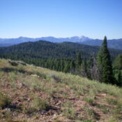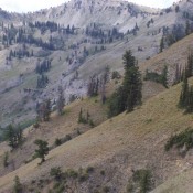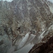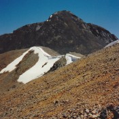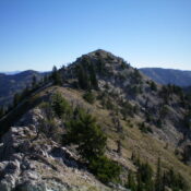
Climbing and access information for this peak is on Pages 339-340 of the book. As occasionally happens the Board of Geographic Names accidentally placed the name Needle Peak on the peak’s lower north summit. The book entry used the name for the high point which is the only formation structure that sort of remotely resembles a “needle.” At Livingston’s recommendation, … Continue reading
Search Results for: a cl
This peak is not in the book. Updated January 2023 Peak 7570 is located southeast of Pine Creek Pass and ID-31 at the head of Wood Canyon. It is most easily climbed via an ATV trail (FST-047) that almost reaches the summit. USGS Fourth of July Peak Access From ID-31 at Pine Creek Pass, drive south up signed FSR-253 for 2.4 … Continue reading
This peak is not in the book. Margo Mandella and Livingston Douglas contributed to my original page. Updated January 2023 Peak 7834 is located on the southeast side of the Big Hole Mountains. It is the first peak west of Pine Creek Pass and ID-31. It is a good destination for cross-country skiing during stable snow conditions and is an … Continue reading
This peak is not in the book and its summit sits just across the Idaho/Wyoming border. Rick Baugher provides the following: “Richards Peak/Peak 9660 straddles the Idaho/Wyoming border in the Snake River Range. Here are notes from my 6/20/99 visit. From the 6,120 foot trailhead in Blowout Canyon, hike over landslide rubble and faint trail through understory to Spaulding Basin. … Continue reading
This peak is not in the book. Updated November 2017 South Freeman Peak is located ESE of Freeman Peak. When I climbed Freeman Peak, I ignored South Freeman because I did not realize that it rises 440 feet from its saddle with Freeman Peak. Fortunately, Livingston Douglas climbed the peak and provided the route information set out below. USGS Homer … Continue reading
Climbing and access information for this peak is on Page 268 of the book. The book lists the elevation at 10,925 feet. Newer estimates put the elevation at 10,940 feet. I added Brett Sergenian’s photo of the upper route and his GPS track which starts from the Arentson Gulch and which shows the East Headwall Route set out in the … Continue reading