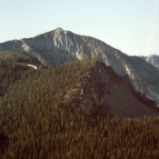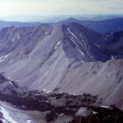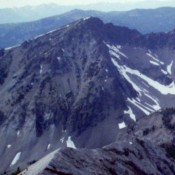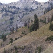
Richards Peak

This peak is not in the book and its summit sits just across the Idaho/Wyoming border. Rick Baugher provides the following: “Richards Peak/Peak 9660 straddles the Idaho/Wyoming border in the Snake River Range. Here are notes from my 6/20/99 visit. From the 6,120 foot trailhead in Blowout Canyon, hike over landslide rubble and faint trail through understory to Spaulding Basin. … Continue reading
Corner Shot Peak

Climbing and access information for this peak is on Page 268 of the book. The book lists the elevation at 10,925 feet. Newer estimates put the elevation at 10,940 feet. I added Brett Sergenian’s photo of the upper route and his GPS track which starts from the Arentson Gulch and which shows the East Headwall Route set out in the … Continue reading

Peak 10126 (Mushroom Peak)

Climbing and access information for this peak is on Page 234 of the book. Mushroom Peak is the northernmost Boulder Mountains Peak on the Boulder Front portion of the range. Use the link below to view Dan Robbins’ trip report for recent ascent information. USGS Horton Peak … Continue reading

WCP-4

Climbing and access information for this peak is on Page 219 of the book. WCP-4 is the westernmost of the White Cloud Mountain‘s “WCP” peaks. It is connected to Watson Peak via a long ridge. USGS Robinson Bar   … Continue reading

Watson Peak

Climbing and access information for this peak is on Page 220 of the book. Watson Peak is one of the few peaks in the Northern White Cloud Mountains to have an official name. It is part of the group of mountains I identify as WCP peaks and is connected to WCP-4. USGS Robinson Bar   … Continue reading