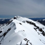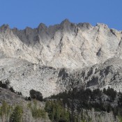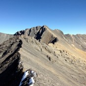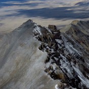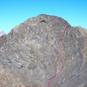
Climbing and access information for this peak is on Pages 308-309 of the book. The book only lists one route. This page has additional route information for the Baugher route and a traverse from Diamond Peak by Wes Collins. Additionally, Derek Percoski and Daniel Todd climbed the peak’s South Ridge on September 4, 2019. Derek’s route report is set out … Continue reading