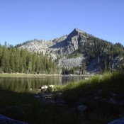
Peak 10744 (Gilmore East)

Gilmore East viewed from Gilmore Peak. John Platt Photo

This peak is not in the book. It is the east summit of officially-named Gilmore Peak. Based on my visual observation, I believed there was a 50/50 chance that it is actually the highest point on the Gilmore Peak massif. My observation was recently confirmed by LiDAR measurements. Gilmore Peak is discussed on Page 304 of the book. Updated December … Continue reading
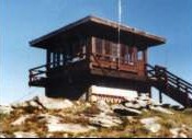
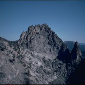
Shorty Peak

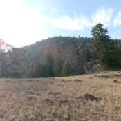
Shorty Peak is capped by a classic fire lookout which is reached via a 2.5-mile hike. The summit is actually the lower summit of Lone Tree Peak (6,771 feet). The Forest Service rents the lookout to the public on a “first come, first serve basis.” USGS Shorty Peak

Knuckle Peak (Fishfin Ridge)

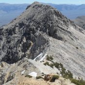
Knuckle Peak from Ramshorn Peak.

Climbing and access information for this peak is on Pages 124-125 of the book. BE CAREFUL Knuckle Peak, the most impressive feature of the Bighorn Crags, is the highest point on Fishfin Ridge. The peak was first climbed by Lincoln Hales and Pete Shoening in 1955. First a couple of photos and then 2 routes not included in the book. … Continue reading

Jughandle Mountain

Climbing and access information for this peak is on Page 114 of the book. Michael Stoger and his climbing partners put up many new routes on this peak’s North Face between 2002 and 2004. Thanks to Mike, these routes are documented below. Jughandle Mountain is probably the most popular summit in the Western Salmon River Mountains. Its popularity is due … Continue reading

Peak 8467 by Livingston Douglas

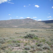
This peak is not in the book. Published November 2024 Peak 8467 is located west of Donkey Hills HP and east of Burnt Creek. It is most easily climbed from Donkey Hills Road to its west. This area is a mix of private and public land, so be careful. This climb is entirely on BLM land. USGS Donkey Creek Access … Continue reading