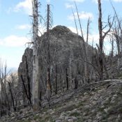
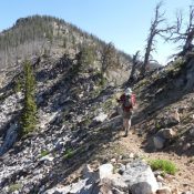
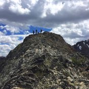
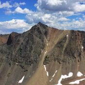
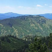
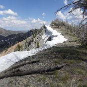
Peak 10008 (MacRae Peak)

This peak is not in the book. MacRae Peak is located just east of Deer Lakes and just north of Simpson Peak and Alta Peak. All 3 peaks are on a long East-West ridgeline south of Germania Creek. Dave Pahlas climbed this peak as part of a 4-peak odyssey. His trip report is linked below. There are a lot of … Continue reading

Peak 10356 (Anonymous Peak)

This peak is not in the book. Anonymous Peak is located between Peak 10378/Simpson Peak and Alta Peak on a long East-West ridgeline south of Germania Creek. Dave Pahlas climbed this peak as part of a 4-peak odyssey. His trip report is linked below. There are a lot of peaks in this seldom-visited region of the White Cloud Mountains. Access … Continue reading

Alta Peak

This peak is not in the book. Alta Peak is a Southern White Cloud summit that is located on a long East/West ridgeline south of Germania Creek. Dave Pahlas this peak as part of a 4-peak odyssey. His trip report is linked below. There are a lot of peaks in this seldom-visited region of the White Clouds. Access is good … Continue reading

Kinport Peak

Climbing and access information for this peak is on Pages 355-356 of the book. There is a lot of additional information set out below. First up is Steve Mandella’s photo essay documenting his 2010 climb. Second is Livingston Douglas’ 2018 report. The third update is Paul Byers’ 2024 Northwest Face access and route. Finally, you will find an historical photo … Continue reading

Argosy Peak

This peak not in the book. Argosy Peak is located about a mile southwest of Err Peak and the main Pioneer Mountain Crest. It is most often climbed with Err Peak and Pion Peak. The round trip shown below covers 9.1 miles and 4,300 feet of elevation gain. USGS Trail Creek Access Argosy Creek is accessed from ID-20 at Carey, … Continue reading

Pion Peak

Climbing and access information for this peak is on Page 256 of the book. Pion Peak is often climbed along with Err Peak and Argosy Peak on the same day. The round trip shown below covers 9.1 miles and 4,300 feet of elevation gain. USGS Trail Creek Access Argosy Creek is accessed from ID-20 at Carey, Idaho. Look for the … Continue reading