Quicksilver Mountain

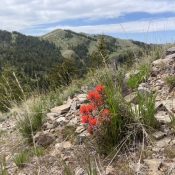
Climbing and access information for this peak is on Page 345 of the book. The access for this peak detailed in the book is now blocked by a “No Trespassing” sign. The new access route leaves from the top of Toy Pass. Also see the Owyhee Mountains Peaks List for all of the peaks in this range. Updated June 2019 While … Continue reading
OWYHEE MOUNTAINS

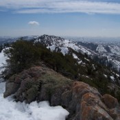
The Owyhee Mountains are discussed on Pages 343-347 of the book. The website contains significant updates and expands on the book’s content. See the Owyhee Mountains Peaks List for all of the peaks in this range. The Owyhee Mountains are an incredible mountain uplands that are still mostly unknown to most Idahoans. These mountains cover Idaho’s entire southwestern corner and spill … Continue reading

Cedar Creek Peak

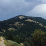
Climbing and access information for this peak is on Page 353 of the book. Rick Baugher and Livingston Douglas have provided the updates found below. The book’s USGS quadrangle designation is in error. The correct USGS quad is North Heglar Canyon. Updated November 2018 2007 Update by Rick Baugher The following trip report and photo was supplied by Rick Baugher. … Continue reading

SUBLETT RANGE

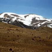
The Sublett Range extend from the Snake River Plain south almost to Snowville on the Idaho/Utah border. From the surrounding valleys, the range resembles a low grouping of rugged, dry hills. This range is much greener, more complicated and diverse than it appears from the valleys. The range is a meeting ground between the Great Basin and the Snake River … Continue reading

Sedgwick Peak

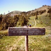
This peak is not in the book. Sedgwick Peak gets no respect in Idaho’s mountain universe. Despite its rugged nature and its expansive forest cover, it was overlooked by Teddy Roosevelt and Gifford Pinchot when they made numerous last-minute designations of National Forests under the President’s soon-to-expire authority. As a result, the portion of the Portneuf Range south of Lava … Continue reading

PORTNEUF RANGE

The Portneuf Range, which begins east of Blackfoot and extends southeast for 60 miles, is broken by the Portneuf River, which cuts through it at Lava Hot Springs. The northern section of the range begins along the Blackfoot River and gradually climbs up to the summits of North and South Putnam Mountains. Moving south, the crest undulates, reaching its highest … Continue reading