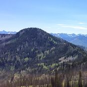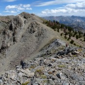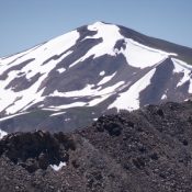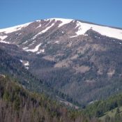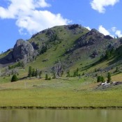
This peak is not in the book. Use the link below to see Dan Robbins’ trip report. Updated November 2024 Peak 10096 is the high point on a north-south ridgeline that separates Copper Creek from the Little Wood River. It is most easily climbed from the Copper Creek Trail to its east. Peak 10096 is overshadowed by its rugged neighbor … Continue reading
Search Results for: a cl
This peak is not in the book. Updated November 2024 Moose Perch is a forested peak that towers above the convergence of Fall Creek and Wildhorse Creek in the Pioneer Mountains. While it is most easily climbed from Moose Lake, the shortest route to the summit is from Wildhorse Creek Road to its west. Moose Perch has some wicked cliffs … Continue reading
Climbing and access information for this peak is on Page 147 of the book. Updated August 2021 Tyee Mountain is an isolated, seldom visited peak and an amazing spot to view the Sawtooth Range. USGS Tyee Mountain Access To access the peak via FSR-312, Graham Road [(B)(2.1) on Page 153], take ID-21 from Boise for 55 miles to the turn for … Continue reading
This peak is not in the book. Updated November 2022 Robbery Peak is located at the north end of the Smoky Mountains near the point where the range melds into the Sawtooth Range. USGS Galena Access Updates and Map Errors From ID-75, turn left/south onto [signed] Salmon River Road/FSR-215 and drive 3.1 miles to the road’s end at the Mule … Continue reading
Climbing and access information for this peak is on Page 302 of the book. Basin Peak is one of the highest points on the Big Creek Divide (discussed in the book on Pages 301-302). It is also one of the highest peaks in the Northern Lemhi Range. It sits east of the Patterson, Idaho town site. Rick Baugher is the … Continue reading
This peak is not in the book. Annies Peak is located east of the townsite of Patterson, Idaho. Rick Baugher climbed this peak. A Forest Service trail crosses its North Slopes. I recommend climbing the peak from that trail. Access the trail from Patterson by driving up Patterson Creek. The road ends at the point where the East Fork Patterson … Continue reading