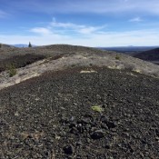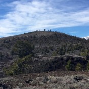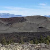
Livingston Douglas pointed out a new development. “Sunset Cone is in a restricted area of Craters of the Moon National Monument. You must obtain a free, 1-day wilderness permit to climb in this area. The permit is available at the Visitor Center. Be sure to carry it with you when you do this climb.” Livingston has also added detailed hiking … Continue reading
Search Results for: a cl
Climbing and access information for this peak is on Page 310 of the book. Livingston Douglas provided route information for the complete south ridge and the west ridge. Updated December 2019 Swanson Peak is located just northwest of the Pass Creek/Uncle Ike Pass in the southern Lemhi Range. Use the link below to read Larry Prescott’s 2016 trip report for … Continue reading
Livingston Douglas added additional route information which can be found down the page. Updated December 2019 Grassy Cone is Peak #1 of the Craters 10-Pack This small, nondescript butte sits just north of US-20 just west of the main entrance to Craters of the Moon National Monument. This small peak shelters an interesting crater on its North Side and is … Continue reading
Livingston Douglas added the detailed route information and photos found below. Updated December 2019 Silent Cone is Peak #5 of the Craters 10-Pack. Silent Cone is located west of the Craters of the Moon Visitor Center and is best reached from the Spatter Cones parking lot. Follow the trail that leads to Big Craters and the viewpoint above the first … Continue reading
Climbing and access information for this peak is on Page 310 of the book. A new route up the Southwest Ridge is the first route set out below. Farther down the page you will find two more difficult routes (likely a first ascent and first descent) submitted by Livingston Douglas. Updated December 2019 Sunny Bar Peak is seldom climbed despite … Continue reading
This peak is not in the book. Also see the Owyhee Mountains Peaks List for all of the peaks in this range. Updated April 2019 The access road described below was recently posted as a “PRIVATE ROAD.” The road crosses about 50 feet of private property and then enters public lands. Check with the BLM before using the access road: +1 … Continue reading