Pruess Range

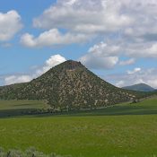
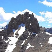
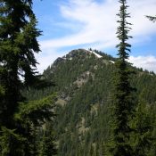
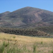
The Pruess Range is a subrange of the Peale Mountains and includes its main escarpment as well as Dry Ridge, the Gannett Hills, Freeman Ridge and the Sheep Creek Hills. The range forms the southern end of the Peale Mountains and is roughly 25 miles from north to south and 12 miles from east to west. The Preuss Range is … Continue reading

BLACKFOOT MOUNTAINS

Part of the range has a number short sharp peaks. Ralph Maughan Photo

The Blackfoot Mountains and two subranges, the Chesterfield Range and the Ninety Percent Range, form a group of barren ridges that trend from northwest to southeast for more than 50 miles between Idaho Falls and Soda Springs. The range’s western slopes climb roughly 2,400 feet above the Snake River, but the eastern slopes rise only 600 feet above the Willow … Continue reading

Bitterroot Mountains

The Bitterroot Mountains are covered in the book on Pages 82-94. Please check those pages for additional information. The Bitterroot Mountains are a group of mountains primarily created by mapmakers and not by fault-blocking or granitic intrusions. The mapmakers’ creation combines parts of the Coeur d’Alene and Clearwater Mountains to form a long narrow grouping stretching south from Lake Pend … Continue reading

LOST RIVER MOUNTAIN RANGE

The Lost River Range is covered in the book on Pages 265-295. All of the Lost River Range peaks covered by this website can be found at this link: Lost River Range Updates. The Lost River Range stretches 70 miles from northwest to southeast between Challis, ID and Arco, ID. The Big Lost River Valley and Salmon River flank the … Continue reading

Sheep Mountain Range

The Sheep Mountain Range is located northeast of the town of Headquarters and is situated inside a major bend in the North Fork of the Clearwater River northeast of Headquarters, Idaho. It is unclear why this section of the Clearwater Mountains was given a name. Geographically and geologically, its terrain is no different than the surrounding Clearwater terrain.  This subrange … Continue reading

Shoshone Range

Bennett Peak. Ken Jones Photo

The Shoshone Range is a small, forested subrange which is tucked into the West Side of the Bitterroot Mountains northeast of Kellogg. This small, north-to-south trending range is roughly 12 miles long and 5 miles wide. It is separated from the Coeur d’Alene Mountains on the west by the Coeur d’Alene River and from the Bitterroots by Big Creek and … Continue reading