Peak 9942 (Mount Ernie Day)

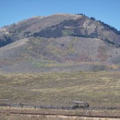
This peak is not in the book. Peak 9942 is located on the East Side of the White Cloud Mountains. USGS Boulder Chain Lakes Rick Baugher provided the following trip report: “From the East Fork Salmon River, I was expecting a nice hiking trail going up Wickiup Creek. Instead, the mouth of Wickiup Creek (6,240 feet) was blocked by private … Continue reading
Pine Spring Ridge

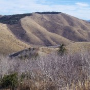
Here is Rick Baugher’s trip report to the summit of the highest point on the Bear Lake Plateau. “On 7/14/13 from my 5,960-foot camp spot at the northeast corner of Bear Lake, I rode then hiked a seldom-used BLM two-track north up the canyon. After about 3 miles, I reached a 7,460-foot saddle. Turned east on an up and down … Continue reading

Henry Peak by Livingston Douglas

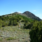
Looking up the north ridge to the pyramidal summit of Henry Peak. Livingston Douglas Photo

Climbing and access information for this peak is on Page 368 of the book. Updated November 2020 Henry Peak is the highest point in the Grays Range. It sits seven miles due east of Blackfoot Reservoir. Henry Peak is the highest of six peaks that surround Henrys Cutoff Pass. It has a magnificent pyramidal summit when viewed from the pass. … Continue reading

Peak 7796 (Wooley Range HP) by Livingston Douglas

This peak is not in the book. Rick Baugher’s notes on his climb are set out below Livingston’s entry. This part of Southeast Idaho has been and is subject to phosphate mining. Rick’s entry serves as a good time piece demonstrating the transient nature of phosphate mining in these mountains. Livingston pointed out that there is currently [2022] an active … Continue reading

Pleasantview Hills HP (John Evans Mountain)

This peak is not in the book. Rick Baugher suggested the name to honor Idaho’s last Democrat governor. Rick’s notes are found below. Livingston Douglas climbed and documented the northern approach, the recommended route to the summit. I added the route description for the southern approach from the south and Peak 7217. Updated January 2023 The Pleasantview Hills HP is located west … Continue reading

BANNOCK RANGE

The false summit of Old Tom (right) and the true summit (left) from the south ridge route.

The Bannock Range is discussed in more detail on Pages 355-359 of the book. The Bannock Range begins just west of Pocatello. Its main crest stretches southeast for 65 miles, ending near Weston, Idaho and the Utah border. Geographically, besides the main crest, this upland encompasses a group of small escarpments, the North Promontory Range, the Blue Springs Hills, the … Continue reading