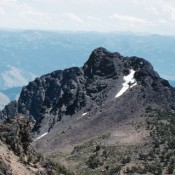
Climbing and access information for this peak (called Mount Ogre in the book) is on Page 100. Please note that more recent estimates put the elevation of The Ogre at 9,256 feet, a bit higher than the book’s figure. USGS He Devil … Continue reading

Climbing and access information for this peak (called Mount Ogre in the book) is on Page 100. Please note that more recent estimates put the elevation of The Ogre at 9,256 feet, a bit higher than the book’s figure. USGS He Devil … Continue reading
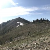
Climbing and access information for this peak is on Page 120 of the book. Updated August 2019 This is the first peak south of Elk Summit and is part of an impressive, high ridgeline that connects Elk Summit and Profile Gap. The summit is a short scramble from Elk Summit and FS-340. This peak was named for a Captain Eldridge … Continue reading
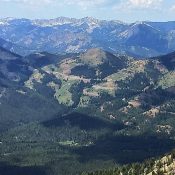
Climbing and access information for this peak is on Page 234 of the book. The Cross is the westernmost Boulder Mountains peak. It is located just east of Galena Summit and ID-75. The peak is a popular Winter ascent along with nearby Avalanche Peak. Avalanche danger awareness and avoidance is a prerequisite to a Winter ascent. USGS Horton Peak Use … Continue reading
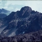
Climbing and access information for this peak is on Pages 98-99 of the book. The book lists two routes, the somewhat-obscure Marshall Ledges Route and the South Ridge Route. The South Ridge route is more accurately named below the South Ridge/South Face Route. Down the page you will find photos of the summit block portion of the South Ridge Route … Continue reading
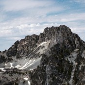
This peak is not in the book. I have not climbed this peak. It is located 1.1 miles due north of the He Devil and west of Sheep lake. This is a 1984 shot which labeled them. Looking at it in 2014 and comparing to the map, I am not 100% positive this is the peak. USGS He Devil … Continue reading
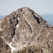
Climbing and access information for this peak is on Pages 101-103 of the book. Devils Throne is a long way from Sheep Lake, so it is not often climbed. This is a shame since the peak is both attractive and imposing. USGS He Devil … Continue reading