Initial Point

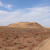
This peak is not in the book. Livingston Douglas added an additional photo to the initial entry (no pun intended). Updated November 2022 Initial Point is a small volcanic remnant that rises roughly 350 feet out of the Snake River Plain, 8 miles south of Kuna, Idaho. The butte is famous because it was the starting point for the first … Continue reading
North Targhee Peak

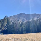
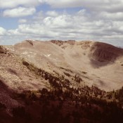
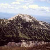
Climbing and access information information for this peak is on Page 336 of the book. I erred in the book; the peak is actually on the USGS Targhee Peak quad. Livingston Douglas has provided a more detailed route description which is set out below. This peak is not officially named and is often referred to as the Fremont County High … Continue reading

Peak 10660 (Trail End Peak)

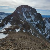
Peak 10660 (Trail End Peak). Brett Sergenian Photo

This peak is not in the book. Updated July 2020 Trial End Peak is located north of Hemingway Peak and above the scenic Trail Creek drainage. USGS Meridian Peak Access Park Creek Road, FS-140 and the Trail Creek Loop Trail, FST-126 [(B)(1)(a) Page 242]. The Trail Creek Loop Trail, FST-126 has not been maintained in many years. Furthermore, trail is … Continue reading

Peak 10419 (Wilson Creek Peak)

This peak is not in the book. Updated October 2021 Wilson Creek Peak is located on the main Pioneer Mountains Crest west of Devils Bedstead West and just west of Peak 10380. The peak drops steeply down its southwest side to Wilson Creek. From the summit, the view down Wilson Creek and then Trail Creek frames Sun Valley and the … Continue reading

Big Southern Butte

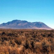
This peak is not in the book. Livingston Douglas updated this page by providing clarification and expansion of the eastern access route that begins in Atomic City. The BLM link for descriptions of both the “east access” route (from Idaho Falls/Pocatello) and the “west access route” (from Arco) is located at this website: https://www.blm.gov/visit/big-southern-butte. Updated November 2021 Big Southern Butte … Continue reading