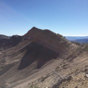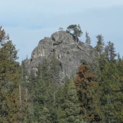
Peak 6513 (Payette Point)

This peak is not in the book. Although Payette Point lacks 300 feet of prominence, it does have a nice Class 4 summit block as well as outstanding views. It’s located just east of Little Payette Lake. UGSS McCall John Platt has climbed this peak many times and has produced 3 trip reports. He notes: “Brian and I climbed it in … Continue reading
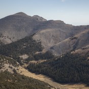
Shril Peak (Shril Benchmark)

Climbing and access information for this peak is on Page 311 of the book. Livingston Douglas has provided a new route on this big peak as well as the many photos found below. Updated December 2019 Shril Peak is located on the main Lemhi Range Crest south of the Uncle Ike/Pass Creek saddle. It is usually climbed from Mormon Gulch. … Continue reading

Red Peak Benchmark

Climbing and access information for this peak is on Page 122 of the book. Updated and more detailed information is set out below. Updated July 2018 Red Peak Benchmark is the highest summit found in a large, remote area east of Yellow Pine, Idaho and west of the Middle Fork Salmon River. The peak sits on a ridge line between … Continue reading

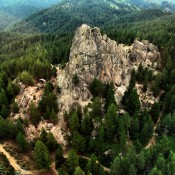
Stack Rock

Stack Rock from the air and the south. Anne Boyles Photo

This peak is not in the book. Stack Rock is an impressive granite tower that sits atop a peak with 515 feet of prominence. The tower has no easy route to its summit and there are lots of opportunities for establishing (or reestablishing) high-quality Class 5 routes on its nearly vertical walls. The tower’s granite is solid with small crystals … Continue reading

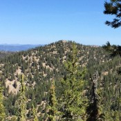
Peak 8202

This peak is not in the book. Peak 8202 is easily reached from the road to Scott Mountain via an enjoyable ridge walk. I recommend climbing this peak in combination with a climb of Peak 8220. Additional details can be found on that peak’s page. USGS Lightning Ridge   … Continue reading

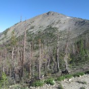
Pinyon Peak by Victor Zhou

This peak is not in the book. Thanks to Victor for his contribution on this interesting and remote summit. Pinyon Peak is a solitary massif in the heart of the Eastern Salmon River Mountains. It is high enough on its own merits but, due to its location on the opposite side of the Loon and Mayfield Creek drainages to the … Continue reading