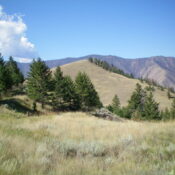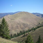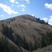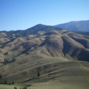
This peak is not in the book. Published November 2023 Peak 6705 sits high on a ridgeline that separates the headwaters of Big Silverlead Creek from the headwaters of Wagonhammer Creek. It is an absolutely beautiful mountain when viewed from a distance. I couldn’t resist climbing it, though it wasn’t initially on my agenda. The easiest access to Peak 6705 … Continue reading
Book Updates
This peak is not in the book. Published November 2023 Peak 5641 sits on a ridgeline that separates Burns Gulch from Big Silverlead Creek. Since both the Burns Gulch Trail and the Big Silverlead Creek Trail are blocked by private land along US-93, the only public access to Peak 5641 is from the Wagonhammer Creek Trailhead. This climb is entirely … Continue reading
This peak is not in the book. Published November 2023 Peak 5186 is a seldom-climbed, ridgeline summit that sits above the confluence of Wagonhammer Creek and the North Fork Salmon River. This area is a mix of private and public land, so be careful. Peak 5186 is most easily climbed via its west ridge and southwest spur from US-93. USGS … Continue reading
This peak is not in the book. Published November 2023 Peak 5602 is a scrub hump that is located on a high ridgeline that separates Wagonhammer Creek from Little Fourth of July Creek in the Beaverhead Mountains. Due to private land, Peak 5602 is only publicly accessible via its west side from Wagonhammer Creek Trail. USGS North Fork Access Same … Continue reading
This peak is not in the book. Published November 2023 Peak 5362 is a scrub hump that is located between Burns Gulch and Little Thompson Gulch on the west side of Wagonhammer Creek. It is most easily climbed from the Wagonhammer Creek Trail. Burns Gulch is closed to the public due to a private residence at its mouth. USGS North … Continue reading
This peak is not in the book. Published November 2023 Comet Benchmark is a rock-and-scrub hump that towers over US-93 at a sharp bend in the highway between Tower Road and Kriley Gulch Road north of Salmon. It is most easily climbed via its southeast ridge from US-93. This climb is entirely on BLM land. USGS Bird Creek Access Park … Continue reading