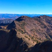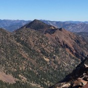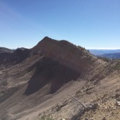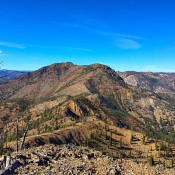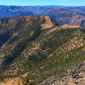
This peak is not in the book but the Samaria Mountains are discussed on Page 357 of the book. Livingston Douglas added three photos to this entry. Updated January 2023 Samaria Mountain is identified by name on some maps but it has not been officially recognized by the Board of Geographic Names. The mountain is identified on the Samaria USGS … Continue reading
Book Updates
This peak is not in the book. Updated November 2024 Peak 7024 is the high point of the Soda Springs Hills but only by seven feet over Peak 7017. It sits southeast of Tenmile Pass and northeast of Long Ridge. This area is a mix of private and public land, so be careful. Peak 7024 can only be reached on … Continue reading
The Soda Springs Hills are the southern extension of the [higher] Chesterfield Range located northwest of Soda Springs, Idaho. This group includes both Long Ridge and the Ninety Percent Range. This compact range is less than seven miles long from north to south and less than ten miles wide from east to west. The Soda Springs Hills are bounded on … Continue reading
The Pruess Range is a subrange of the Peale Mountains and includes its main escarpment as well as Dry Ridge, the Gannett Hills, Freeman Ridge and the Sheep Creek Hills. The range forms the southern end of the Peale Mountains and is roughly 25 miles from north to south and 12 miles from east to west. The Preuss Range is … Continue reading
The Blackfoot Mountains and two subranges, the Chesterfield Range and the Ninety Percent Range, form a group of barren ridges that trend from northwest to southeast for more than 50 miles between Idaho Falls and Soda Springs. The range’s western slopes climb roughly 2,400 feet above the Snake River, but the eastern slopes rise only 600 feet above the Willow … Continue reading
The Bitterroot Mountains are covered in the book on Pages 82-94. Please check those pages for additional information. The Bitterroot Mountains are a group of mountains primarily created by mapmakers and not by fault-blocking or granitic intrusions. The mapmakers’ creation combines parts of the Coeur d’Alene and Clearwater Mountains to form a long narrow grouping stretching south from Lake Pend … Continue reading