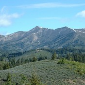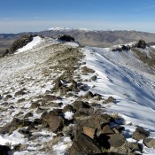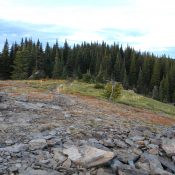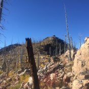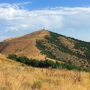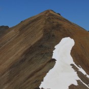
Climbing and access information for this peak is on Page 256 of the book. Err Peak is often climbed along with climbs of Pion Peak and Argosy Peak on the same day. I recommend climbing the peaks starting with Pion, then Err and finally Argosy. The round trip shown below covers 9.1 miles and 4,300 feet of elevation gain. USGS … Continue reading