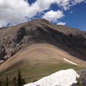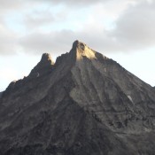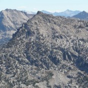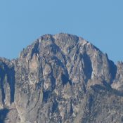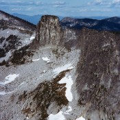
Climbing and access information for this peak is on Pages 40-43 of the book. Also see the 1972 Off-Belay magazine article by Ron Klimko for the climbing history for Chimney Rock. Neil McAvoy guided on the rock in the late 1950s and early 1960s. Chimney Rock is one of Idaho’s most distinctive summits. I climbed it in 1984 and met … Continue reading
Search Results for: a cl
Climbing and access information for this peak is on Page 287 of the book. Updated November 2021 Invisible Mountain is a big, rugged mountain. In addition to the route set out in the book, there are many other possible lines of ascent. I have no idea where the name came from as this peak is highly visible from US-93. The … Continue reading
Climbing and access information for this peak is on Page 288 of the book. The route described below is not in the book. Updated November 2021 Sunset Peak is, perhaps, the best vantage point in the Lost River Range south of Pass Creek Summit. USGS Sunset Peak Mud Lake Canyon/West Ridge Route, Class 2 This route leaves Pass Creek Road … Continue reading
This point is not in the book. It is the rugged [lower] summit of Howard Peak and was not included in the book since no one had reported climbing it last century. Since 2000, a number of fine technical routes have been climbed on the peak. Use the link below to read Dylan Fadgen’s trip report on the Broken Arrow Arete. … Continue reading
This peak is not in the book. Benedict Peak is located northwest of Glens Peak along a ridge line that projects out between Benedict Creek to the west and Tenlake Basin to the east. The peak has significant prominence and, despite not reaching 10,000 feet, it should be on your peak list. While in the area, consider climbing Peak 9918 … Continue reading
Climbing and access information for this peak is on Pages 182-183 of the book. There has been very little written about Redfish Point and there are no details regarding the first ascent by the Iowa Mountaineers. As the photo demonstrates, there is a lot of solid granite on this formation. USGS Mount Cramer … Continue reading