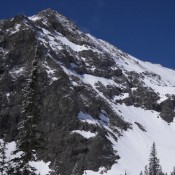
Climbing and access information information for this peak is on Page 238 of the book. Perkins Peak is the 83rd-highest summit in Idaho. It is located southeast of Kent Peak. USGS Ryan Peak … Continue reading

Climbing and access information information for this peak is on Page 238 of the book. Perkins Peak is the 83rd-highest summit in Idaho. It is located southeast of Kent Peak. USGS Ryan Peak … Continue reading
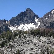
Climbing and access information for this peak is on Page 257 of the book. The elevation has been updated to 11,220 feet. Updated July 2020 Alcyone Peak forms the junction of the west and east forks of the Smiley Lobe. It is the second-highest peak in this extension of the Pioneer Mountains. The book list two routes: one from the … Continue reading
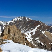
Climbing and access information for this peak is on Page 310 of the book. Little Diamond Peak is the 75th-highest peak in Idaho. It is seldom climbed. See the link below to Larry Prescott’s trip report on his climb up Bunting Canyon and the link for Rick Baugher’s 1988 climb. USGS Fallert Springs … Continue reading
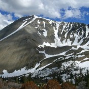
Climbing and access information for this peak is on Pages 263-264 of the book. Livingston Douglas revised this page as it relates to the Northwest Ridge and South Ridge Routes. Ken Jones added the East Ridge Route and revised the east side access information. Based on LiDAR data, Redbird Mountain has replaced Shelly Mountain as the highest point in the … Continue reading
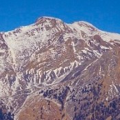
Climbing and access information for this peak is on Page 287 of the book. Sheephead Peak is located northwest of Invisible Mountain. It is one of the least-climbed Idaho 11ers. Nevertheless, it is an impressive peak and is well worth consideration. USGS Mackay Access Unless you decide to climb the peak from Invisible Mountain, access the peak from Swauger Gulch. … Continue reading
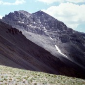
Climbing and access information for this peak is on Page 326 of the book. The access directions in the book are no longer valid due to a road closure. Use the access information set out below. Additionally, I mistakenly placed Huhs Horn in the Beaverhead Southwest Divide in the book. The peak is actually part of the Southeast Divide. Neil … Continue reading