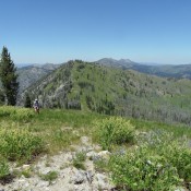
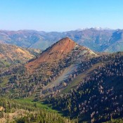
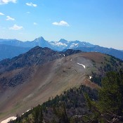
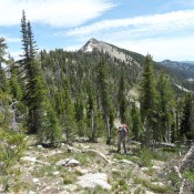
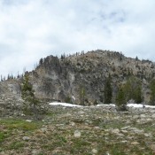
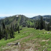
Parks Peak

Climbing and access information for this peak is on Page 119 of the book. Updated July 2018 This peak is a long trail hike from the East Fork South Fork Salmon River. A fire lookout was located on the summit from 1930 to 1952. John Platt recently hiked this peak and reports that the trail is in good shape with … Continue reading

Sheep Mountain

Climbing and access information for this peak is on Page 149 of the book. The elevation has been corrected to 8,211 feet. Sheep Mountain marks the northern end of a ridge that was known to miners in the 1800’s as the Trinity Mountains. While not the highest peak in the range, it is one of the hardest to access since … Continue reading

Gunsight Peak

Climbing and access information for this peak is on Page 151 of the book. Eric Stewart provided the route update, including a map and photos from his 2019 climb which are set out below. Updated August 2019 This peak has eluded me. Those who have climbed report that it is a long, rewarding hike. USGS Ross Peak See John Platt’s … Continue reading

Beaverdam Peak

Climbing and access information for this peak is on Page 113 of the book. The recommended route in the book climbs the peak’s western slopes from the north end of Box Lake. This update contains additional routes. Updated September 2021 Beaverdam Peak is the most impressive peak between the Lick Creek/Yellow Pine Road and the Warren Wagon Road. The peak … Continue reading

Peak 8614 (Burnside Peak)

This peak is not in the book. The area of the Western Salmon River Mountains known as the Lick Creek Range is a complicated mess of ridges, summits and drainages. Much of this area was once covered by dense forest but over the past couple of decades, the area has suffered large forest fires which have opened these granite mountains … Continue reading

Moose Butte

Climbing and access information for this peak is on Page 72 of the book. The Forest Service maintains a web site for the trail that accesses this peak. That site gives more detailed access information. USGS Moose Butte The Forest Service describes the trail and access as follows: From its junction with Dixie Wagon Road Trail #222 on Crooked Creek, … Continue reading