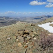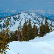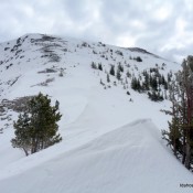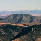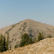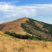
Climbing and access information for this peak is on Page 73 of the book. The Nez Perce National Forest maintains a nice website description of the Granite Peak Trail, which takes you to within a half mile of the summit. Evidently, the trail over the summit has faded away. Check out the Forest Service site for updates. USGS Green Mountain … Continue reading
Book Updates
Climbing and access information for this peak is on Page 325 of the book. The access directions in the book are no longer valid due to a road closure. Use the access information set out below. Updated November 2020 Tuscany Peak is a ragged jumble of broken rock that is located 0.8 mile northwest of Italian Peak. USGS Scott Peak … Continue reading
This peak is not discussed in the book, though it is pictured on Page 303. USGS Big Creek Peak George Reinier and Johnny Roache climbed Peak 10972 in June 2014. George’s report is as follows: West Rib Route, Class 2 Back in early 2013, John and I were trying to figure out which of the peaks on our lists we … Continue reading
Climbing and access information for this peak is on Page 296 of the book. Little Lem Peak is the next summit north of Lem Peak on the main Lemhi Range Crest. USGS Lem Peak … Continue reading
Climbing and access information for this peak is on Page 60 of the book. The Forest Service states of this peak: “Part of the Marble Creek trail system. This trail has a gradual ascent to an abandoned lookout tower. However, much of the route is a fairly level grade atop a high ridge which provides the hiker with expansive views … Continue reading
This peak is not in the book. Sunset Peak is located west of the Idaho/Montana border between Canyon Creek to the south and Pritchard Creek to the north. The area between these two drainages saw extensive mineral exploration and logging operations. As a result, this area is penetrated by many roads. You can drive to the summit. The Forest Service … Continue reading