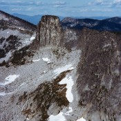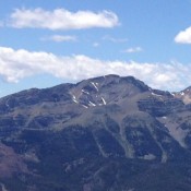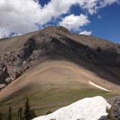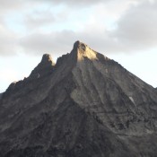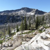
Climbing and access information for this peak is on Page 113 of the book. Rain Peak is part of a long Lick Creek Range ridge that is anchored by Pearl Peak (Pearl triangulation station) in the north and Beaverdam Peak in the south. It is located west of Duck Lake and 1.0 mile north of Burnside Peak. USGS Box Lake … Continue reading
Book Updates
Climbing and access information for this peak is on Page 212 of the book. Big Peak is a remote Smoky Mountain summit which sets west of the Smoky Mountain crest. Use the links below for updated route information. USGS Baker Peak … Continue reading
Climbing and access information for this peak is on Pages 40-43 of the book. Also see the 1972 Off-Belay magazine article by Ron Klimko for the climbing history for Chimney Rock. Neil McAvoy guided on the rock in the late 1950s and early 1960s. Chimney Rock is one of Idaho’s most distinctive summits. I climbed it in 1984 and met … Continue reading
Climbing and access information for this peak is on Page 287 of the book. Updated November 2021 Invisible Mountain is a big, rugged mountain. In addition to the route set out in the book, there are many other possible lines of ascent. I have no idea where the name came from as this peak is highly visible from US-93. The … Continue reading
Climbing and access information for this peak is on Page 288 of the book. The route described below is not in the book. Updated November 2021 Sunset Peak is, perhaps, the best vantage point in the Lost River Range south of Pass Creek Summit. USGS Sunset Peak Mud Lake Canyon/West Ridge Route, Class 2 This route leaves Pass Creek Road … Continue reading
This point is not in the book. It is the rugged [lower] summit of Howard Peak and was not included in the book since no one had reported climbing it last century. Since 2000, a number of fine technical routes have been climbed on the peak. Use the link below to read Dylan Fadgen’s trip report on the Broken Arrow Arete. … Continue reading