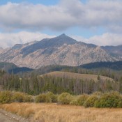
Mattingly Peak

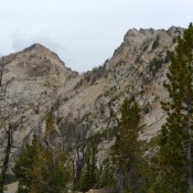
Mattingly Peak is the summit on the right. John Platt Photo

Climbing and access information for this peak is on Page 202 of the book. Mattingly Peak is located off the beaten track due west of Alturus Lake. This section of the range has been mostly ignored by climbers but there are a number of interesting summits and lakes worth visiting in this region. USGS Mount Everly Access [(A)(3)(a) on Page … Continue reading
Peak 9930 (Benedict Peak)

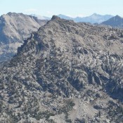
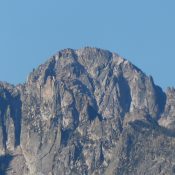
This peak is not in the book. Benedict Peak is located northwest of Glens Peak along a ridge line that projects out between Benedict Creek to the west and Tenlake Basin to the east. The peak has significant prominence and, despite not reaching 10,000 feet, it should be on your peak list. While in the area, consider climbing Peak 9918 … Continue reading

Redfish Point

Redfish Point viewed from Redfish Lake.

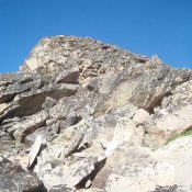
Climbing and access information for this peak is on Pages 182-183 of the book. There has been very little written about Redfish Point and there are no details regarding the first ascent by the Iowa Mountaineers. As the photo demonstrates, there is a lot of solid granite on this formation. USGS Mount Cramer … Continue reading

Imogene Peak

Climbing and access information for this peak is on Page 200 of the book. Additional route information is set out below. USGS Snowyside Peak Imogene Peak Traverse Andrew Chiles and I traversed the peak on July 13, 2014. We climbed the Standard Route from Farley Lake and then descended the East Ridge Route.  See John Platt’s trip report for a route … Continue reading

Cirque Lake Peak

Climbing and access information for this peak is on Pages 188-189 of the book. Cirque Lake Peak is one of four peaks with prominence found on the Verita Ridge. It resides between Warbonnet Peak and Monte Verita. Climb the peak from Bead Lakes. Two routes are listed in the book. Reportedly, there are a number of lines up the peak’s West … Continue reading

The Arrowhead

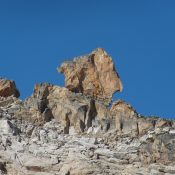
This photo shows the east side. But you climb the west side. I think you drop through a saddle on the left and drop down a bit, then scramble back up to the beginning of the route. The route goes up sort of the center of the face. Not a lot of pro, yet it’s 5.9. John Platt Photo

Climbing and access information for this formation is on Page 185 of the book. A March 31, 2020 earthquake toppled the Arrowhead. Update April 2020 Before the March 31, 2020 earthquake, this formation was located on the Sawtooth Crest between Mount Sevy and Daves Peak. USGS Mount Cramer Tom McLeod and John Platt made the second or third ascent of … Continue reading