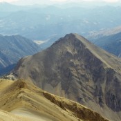
Sheep Mountain 10910

Climbing and access information for this peak is on Page 232 of the book. The elevation has been updated to 10,910 feet. Sheep Mountain is located on the 20-mile long Sheep Divide which forms the west boundary of the East Fork Salmon River Canyon. Due to private property issues and stream crossing dangers, bagging this big peak is not an … Continue reading
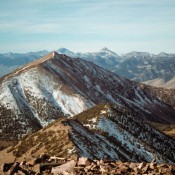
Peak 10378 (Simpson Peak)

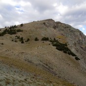
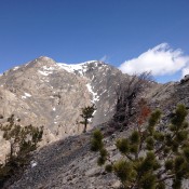
This peak is not in the book. Peak 10378 is located 0.9 miles almost due east of Peak 10488. Simpson is not an official name. Peak 10378 sits directly south of scenic Deer Lakes and North Deer Lake Peak. This Southern White Cloud mountain is located on a long East-West ridgeline south of Germania Creek. Dave Pahlas climbed this peak as … Continue reading

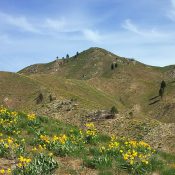
Saddle Mountain

Climbing and access information for this peak is on Pages 311-312 of the book. On this page, you will find a route information for (1) the Middle Canyon route (2) the Cedar Canyon route and (3) Livingston Douglas’ west gully/northwest shoulder oute. Be sure to use the links below to check out Rick Baugher’s 1980 trip report, John Platt’s 2011 … Continue reading

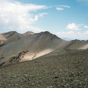
Peak 10680

Climbing and access information for this peak is on Page 238 of the book. Peak 10680 is located southwest of Kent Peak. This peak is sometimes referred to as The Cone. USGS Ryan Peak … Continue reading

Bear Mountain

Climbing and access information for this peak is on Page 304 of the book. Livingston Douglas provided the new southwest shoulder route set out below as well as updated access information. Updated December 2019 Bear Mountain is located west of the main Lemhi Range Crest and south of Iron Creek Point. Its position “out in the valley” makes it great … Continue reading

Danskin Mountains

The Danskin Mountains are a complex subrange of the Boise Mountains. These peaks are discussed on Pages 152-153 of the book. This subrange is bordered by the Boise River/Lucky Peak Reservoir on its west side.  The South Fork Boise River divides the range from the Boise Mountains along its northern flank and the Snake River Plain and US-20/Bennett Mountain Hills … Continue reading