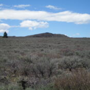
This peak is not in the book. Published November 2024 Pine Butte is located northeast of Butte Crater on the east side of Red Road in Fremont County. Though called a butte, it is actually a double crater formation with the official high point on the west rim of the east crater. USGS Pine Butte Access Same as for Butte … Continue reading
Search Results for: a cl
This Peak is not in the Book. Published November 2024 Butte Crater is located on the east side of Red Road in Fremont County, just east of Split Rock. Its high point is on the north rim of the crater. USGS Split Rock Access Same as for North Junipers HP except continue north on Red Road from its signed junction … Continue reading
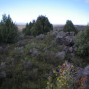
This Peak is not in the Book. Published November 2024 Black Knoll is a hump of boulders and junipers that is located on BLM land east of the North Junipers in Fremont County. It requires a drive (then hike) across unposted private land to reach its rather desolate location. USGS Black Knoll Access Same as for North Junipers HP but … Continue reading
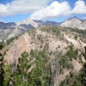
This peak is not in the book. The name was suggested by Rick Baugher who climbed the peak in 2007. Published November 2024 Peak 9365 is a ranked bump on the lengthy north ridge of Peak 10096/Copper Trail Peak. It sits above the headwaters of both Pot Creek and Bear Creek in the Pioneer Mountains. Peak 9365 is most easily … Continue reading
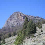
This peak is not in the book. Published November 2024 Wildhorse Rock is a magnificent piece of rock on the east ridge of Little Kane Peak. It is quite visible from Wildhorse Canyon Road to its east/northeast. While not officially named, this rocky outcrop is well-visited and has two large cairns on its rocky summit. Wildhorse Rock is most easily … Continue reading
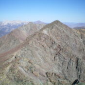
This peak is not in the book. Published November 2024 Peak 11100 is a rugged, rocky summit that is located on the high ridgeline that includes Atlas Peak (11,020 feet) to the northwest and Alcyone Peak (11,261 feet) to the southeast. It is a fun, Class 3 scramble from Green Lake to its southwest. USGS Smiley Mountain Access Muldoon Canyon … Continue reading